Backpacking Mammoth Crest to Duck Pass
Mammoth Crest trail is one of the most geologically diverse trails in the Mammoth area, offering stunning views of alpine lakes, unique geological formations, and sweeping views of the most iconic mountain ranges in the Sierra. Mammoth Crest is a popular day hike, but is less popular for overnight trips, meaning there are almost always permits available and you wont encounter as many people as many of the other overnight options in the Mammoth area.

General Wilderness Notes
A wilderness permit is required
Apply for a permit at Recreation.gov
Read my guide to getting a permit on Recreation.gov by clicking here.
Permits may be reserved up to 6 months in advance
Your starting trailhead is: Deer Lakes
For more information, click here.
*For the 2021 season, all permits will be released online. After reserving a permit in Recreation.gov, you’ll need to email the rangers station to confirm your permit. For more information, click here.This is bear country- please carry an approved bear canister and make sure your car is free of smellable items before leaving it overnight. Additionally, refresh your memory on how to interact with bears. The Sierra Wild website is a great resource.
Fires- no fires above 10,000 ft.
Camping restrictions include: no camping at Crystal Lake
Review Leave No Trace Guidelines before heading out on your trip.
Trailhead Information
The trail begins at the Crystal Lake Trailhead/Lake George Parking lot. Amenities include restrooms, trash cans, picnic tables, and cell service.
To get to the trailhead: Leave Hwy 395 at Mammoth Lakes, Hwy 203 and follow Lake Mary Road. Follow the signs to Lake George. There is a large parking lot with separate parking for day and overnight hiking.
There is no fee for overnight parking, but make sure to remove all smell-able items from your car as this is active bear country.
Itinerary and Trail Overview
The Deer Lake/Duck Lake loop can be done several ways.
If you have two cars you can stage a car at the Duck Pass trailhead before starting your trip. If you only have one car, you can use the Mammoth trails system to walk back to your car to make the trip a loop.
This route can also be done clockwise by starting at Duck Lakes and ending at the Deer Lakes Trailhead. The Duck Lakes trailhead is harder to get permits for, so I recommend doing the trip counter-clockwise.
Alternatively, you can hike to Deer Lakes and return via the same trail if you’d rather not make it a loop, making it a 12 mile round trip hike vs. a 16 mile round trip hike.
Maps
I highly recommend carrying a paper map of the area. In addition to carrying a paper map, I’d recommend downloading an electronic version to your phone so you can pinpoint exactly where you are on trail. Here’s the link to AllTrails. Here’s another link on CalTopo detailing the route.

Two Day Detailed Itinerary
Day 1: Lake George to Deer Lakes
via Deer Lakes/Crystal Craig Trail

Miles: 6 miles
Elevation gain: 2,500 ft.
Water sources: Deer Lakes
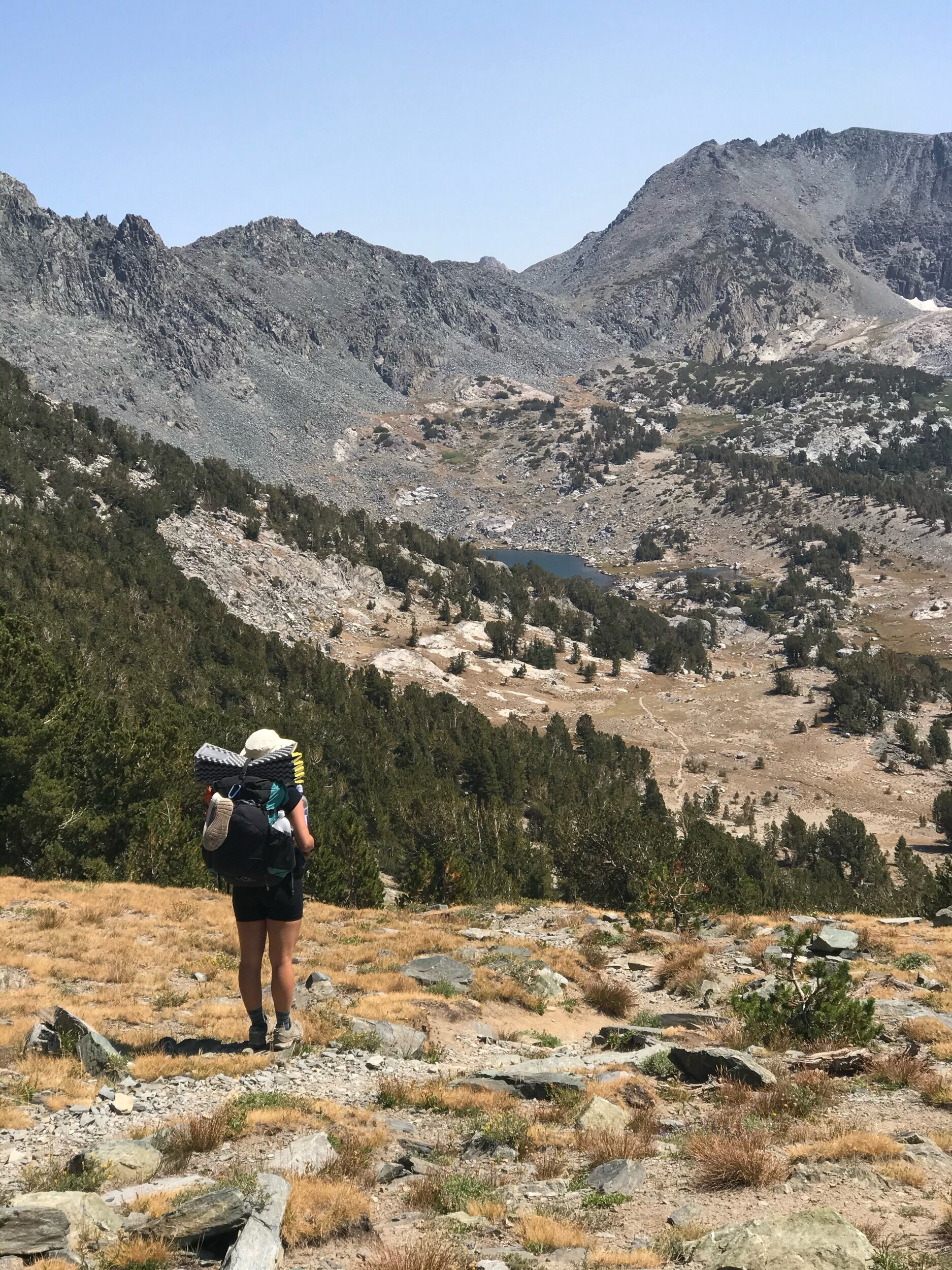
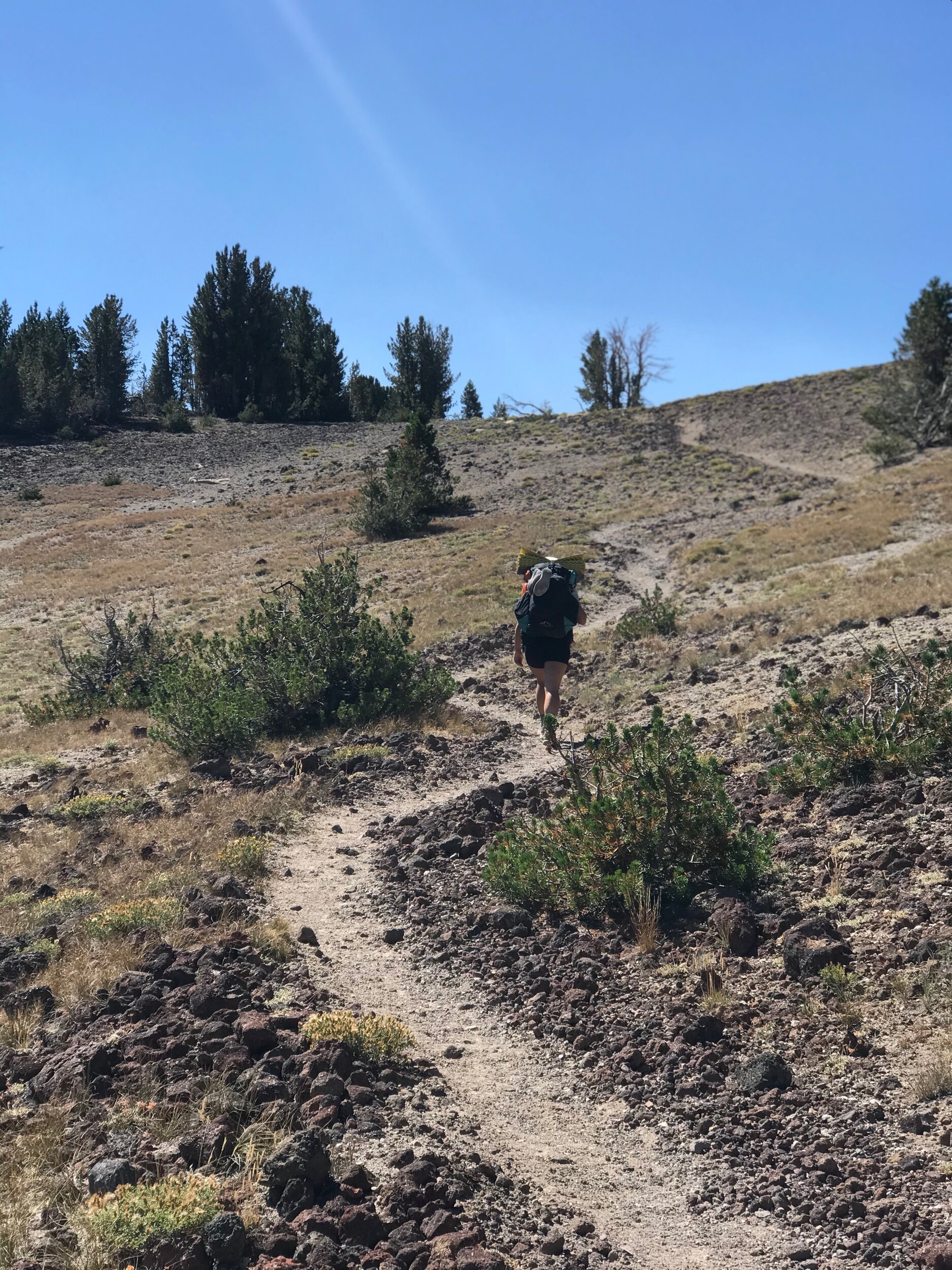
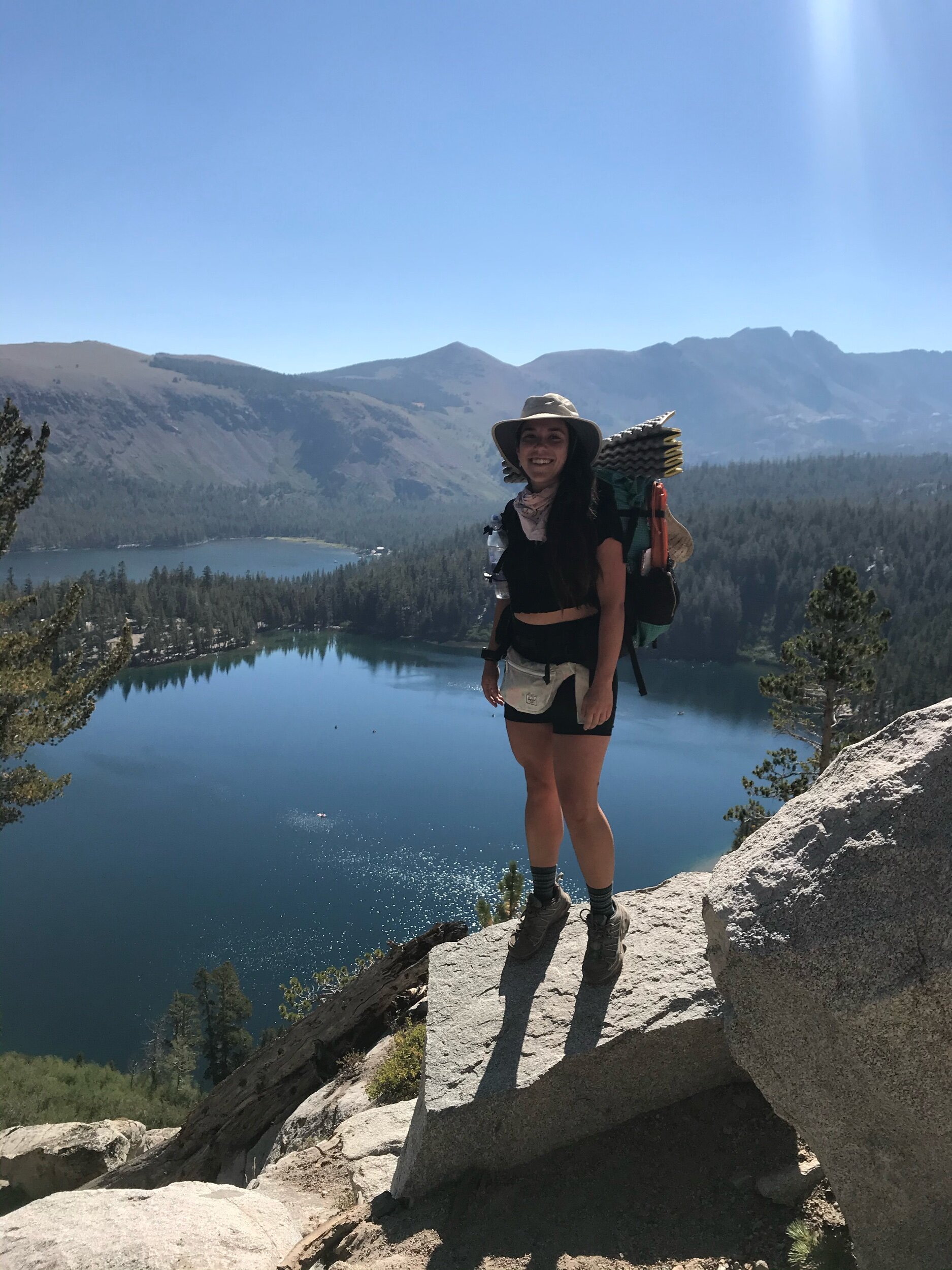
The trail begins at the west end of the Lake George parking area, and immediately begins climbing via a series of switchbacks. As you climb, you’ll get stunning views of the Mammoth lakes basin, overlooking Lake George, Lake Mary, Lake Mamie, and Twin Lakes. Eventually, you’ll gain beautiful views of Mammoth mountain, and the entire town of Mammoth below you.
The trail is a continuous moderate uphill climb. There are several forested spots that offer shaded rest areas, but most of the trail is exposed. Eventually, the trail crosses a junction to Crystal Lake. Stay to the right at the junction and continue to climb up more switchbacks.
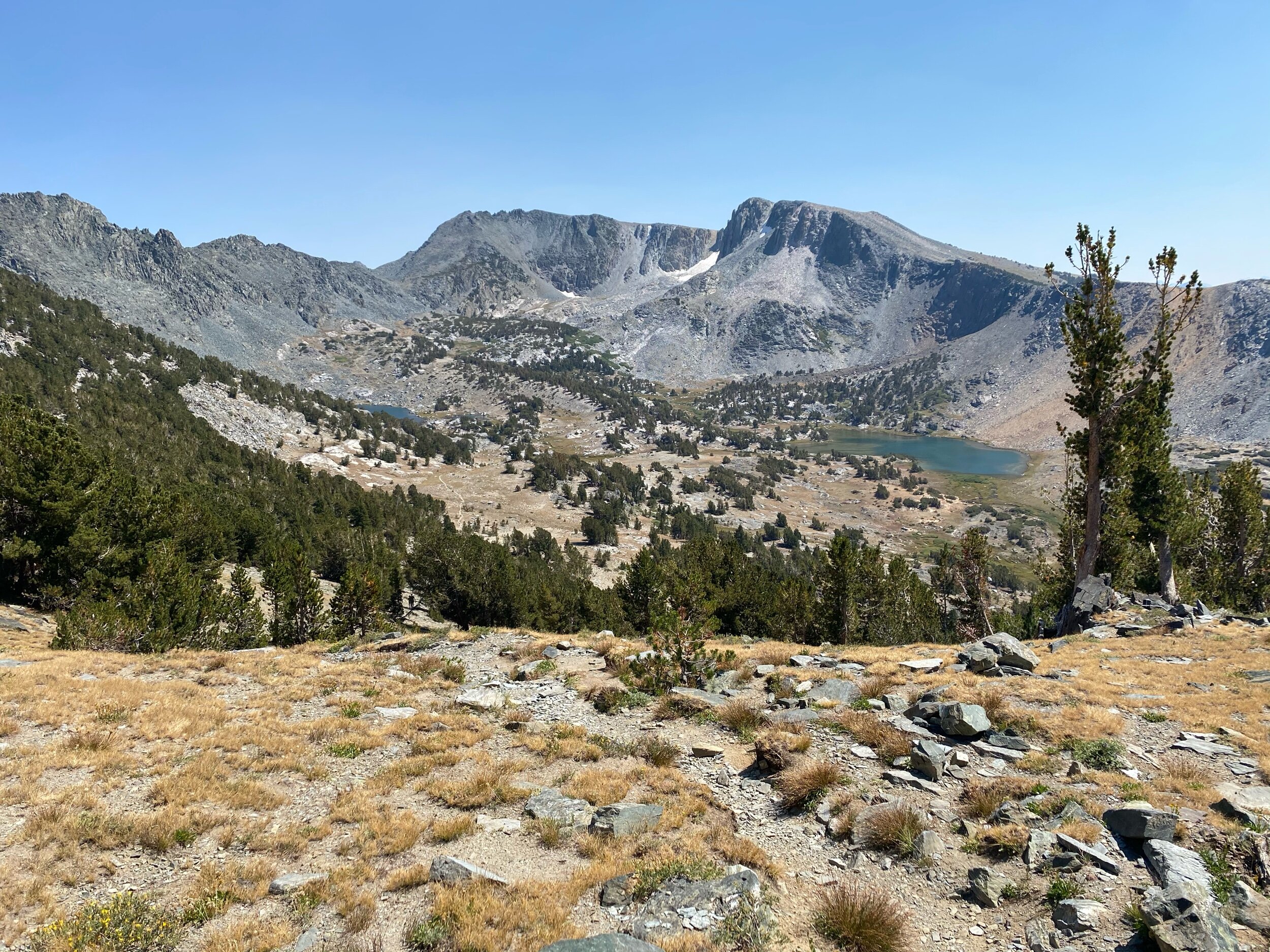
After about 2 miles and 1,400 feet of elevation gain, the trail tops out at the treeline, exposing exquisite red rock formations along the ridgeline. The trail follows along the still active Long Valley Caldera, a volcanic depression caused by an eruption that occurred 760,000 years ago. The bright red color is likely a mixture of rhyolite and basalt dug up from that ancient volcanic activity.
Once you’ve reached the ridgeline, the trail forks again. If you take the route to the right, you’ll climb to the top of one of the red cones, offering stunning views of Mammoth mountain, the Minarets, and the Ritter range. If you take the trail in front of you (slightly to the left), you’ll eliminate some elevation gain and traverse across the ridgeline. Both routes eventually reconnect, so the choice is yours.
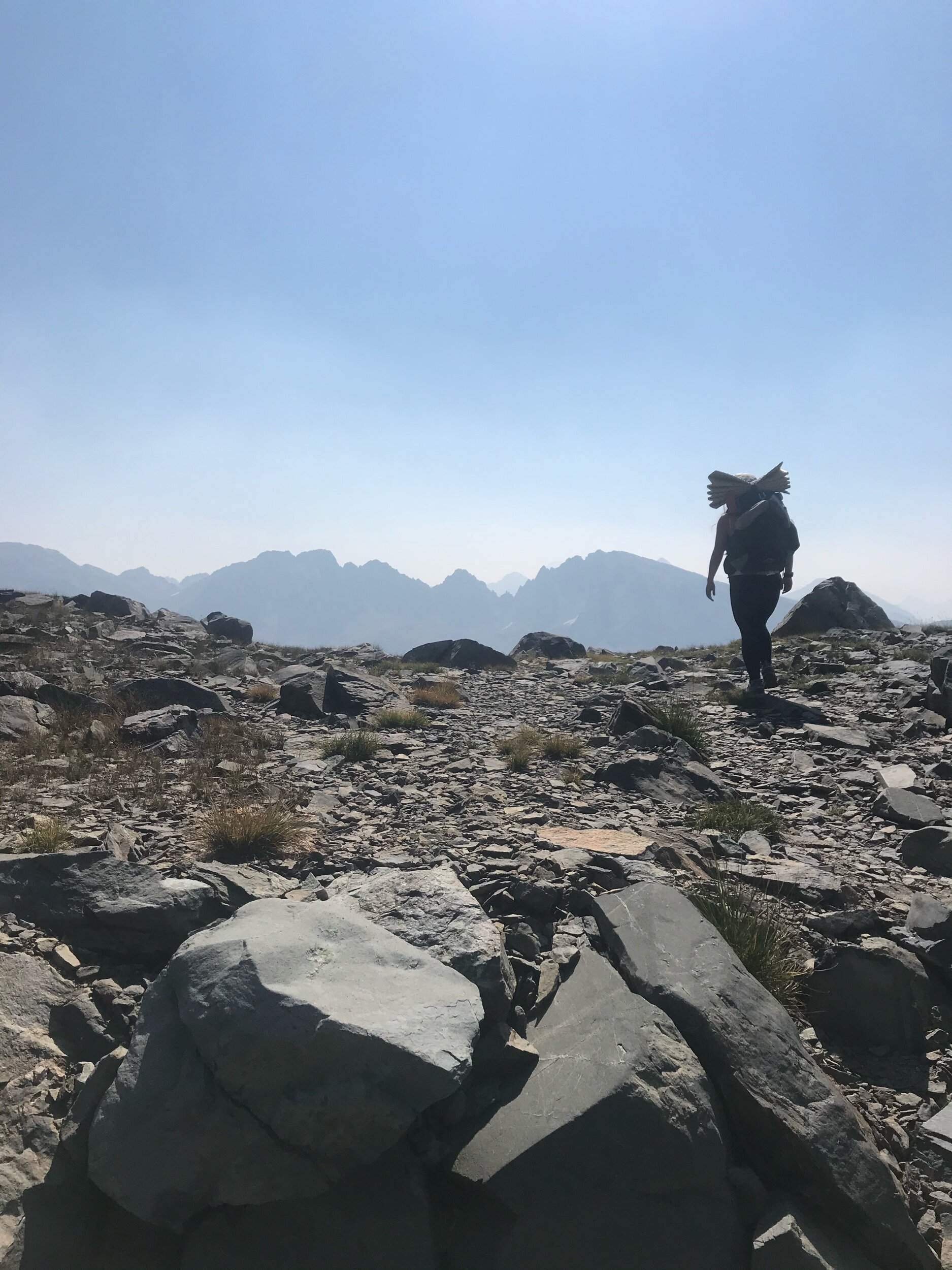
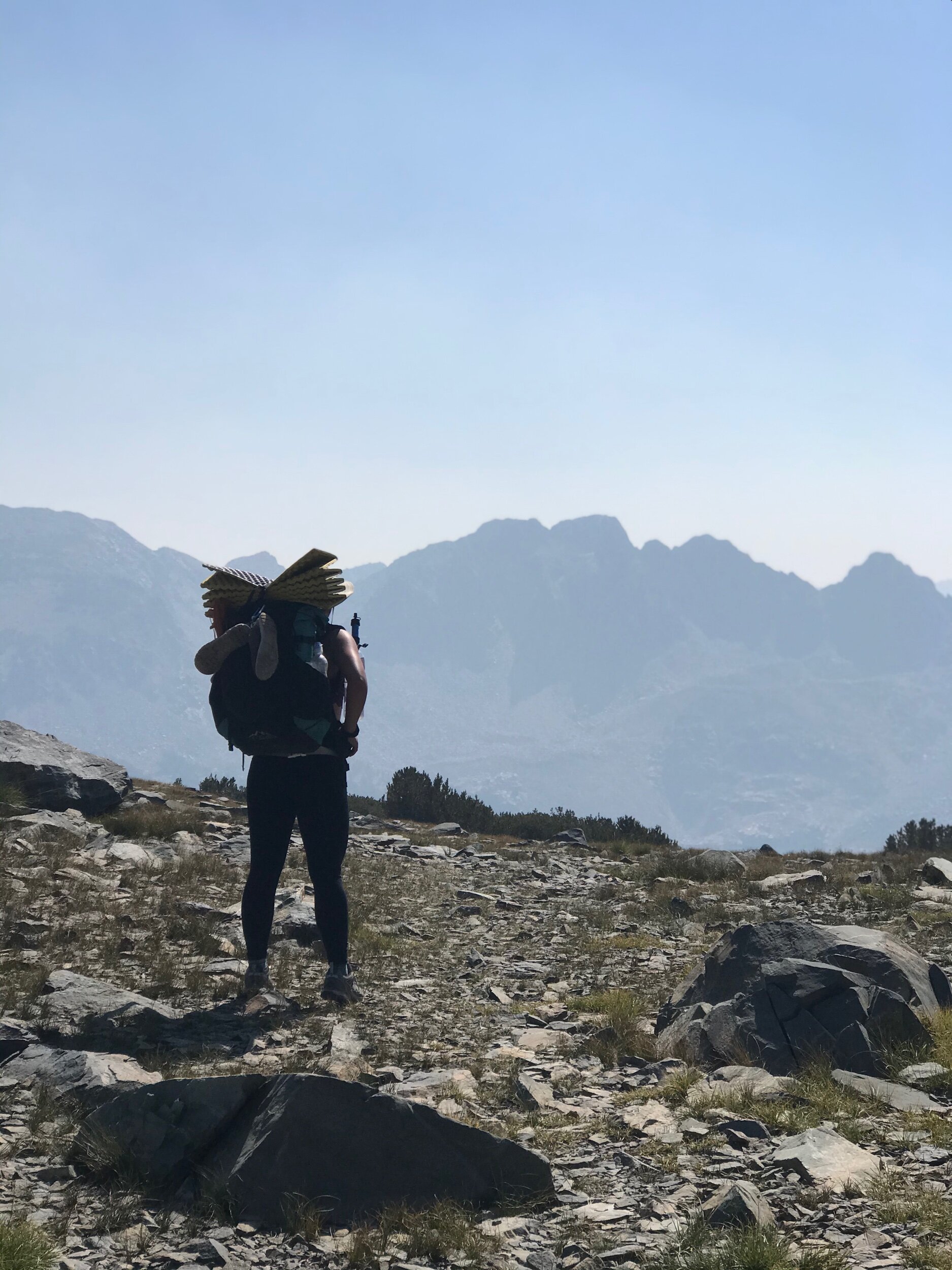
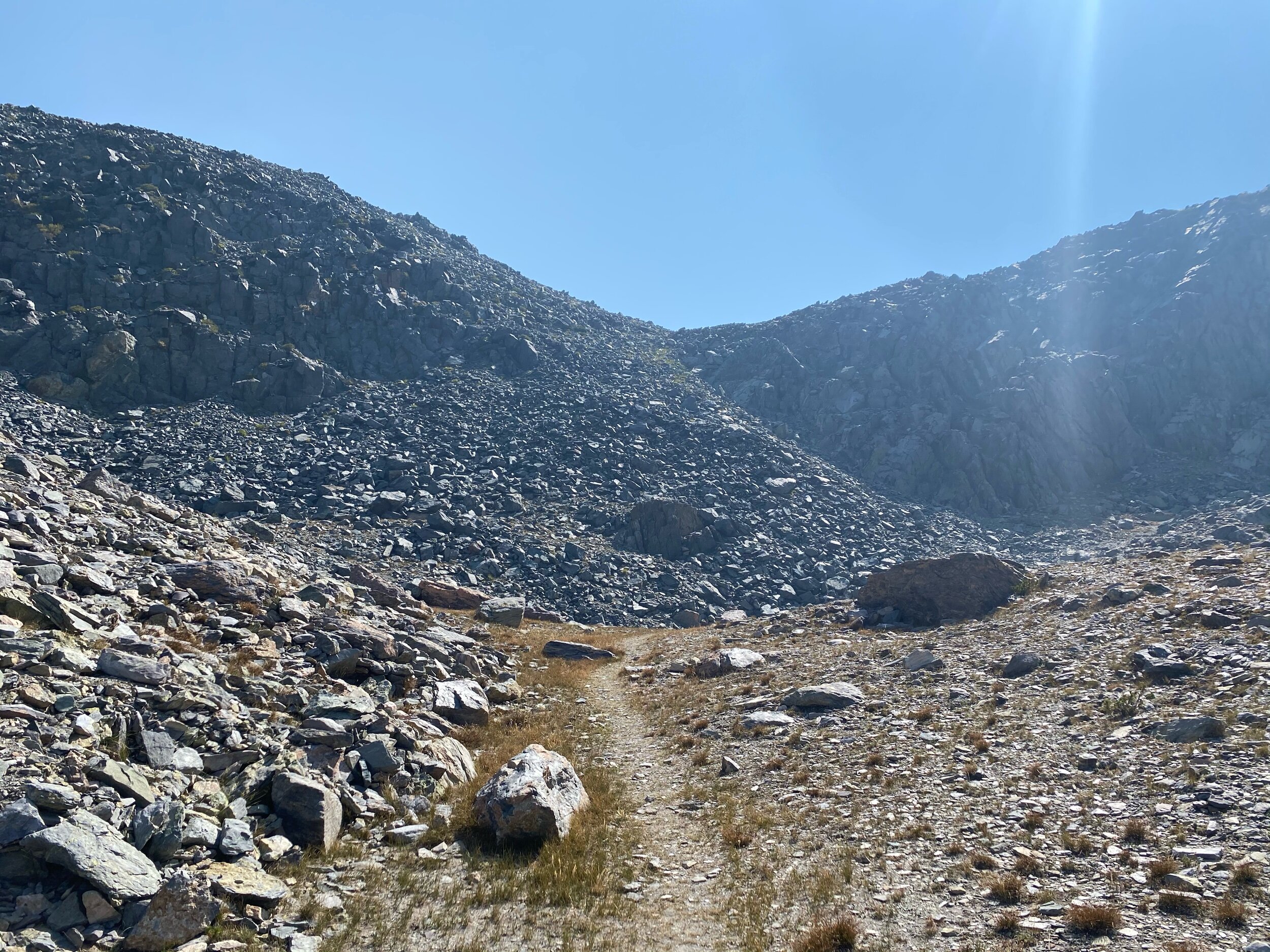
The trail is completely exposed after you cross the first section of ridgeline, and there are no water sources until you arrive at Deer Lakes. You’ll walk the ridgeline, exposing astounding talus formations to the left, with drastic drop offs. Sometimes you’ll see people climbing the talus routes of the crest.
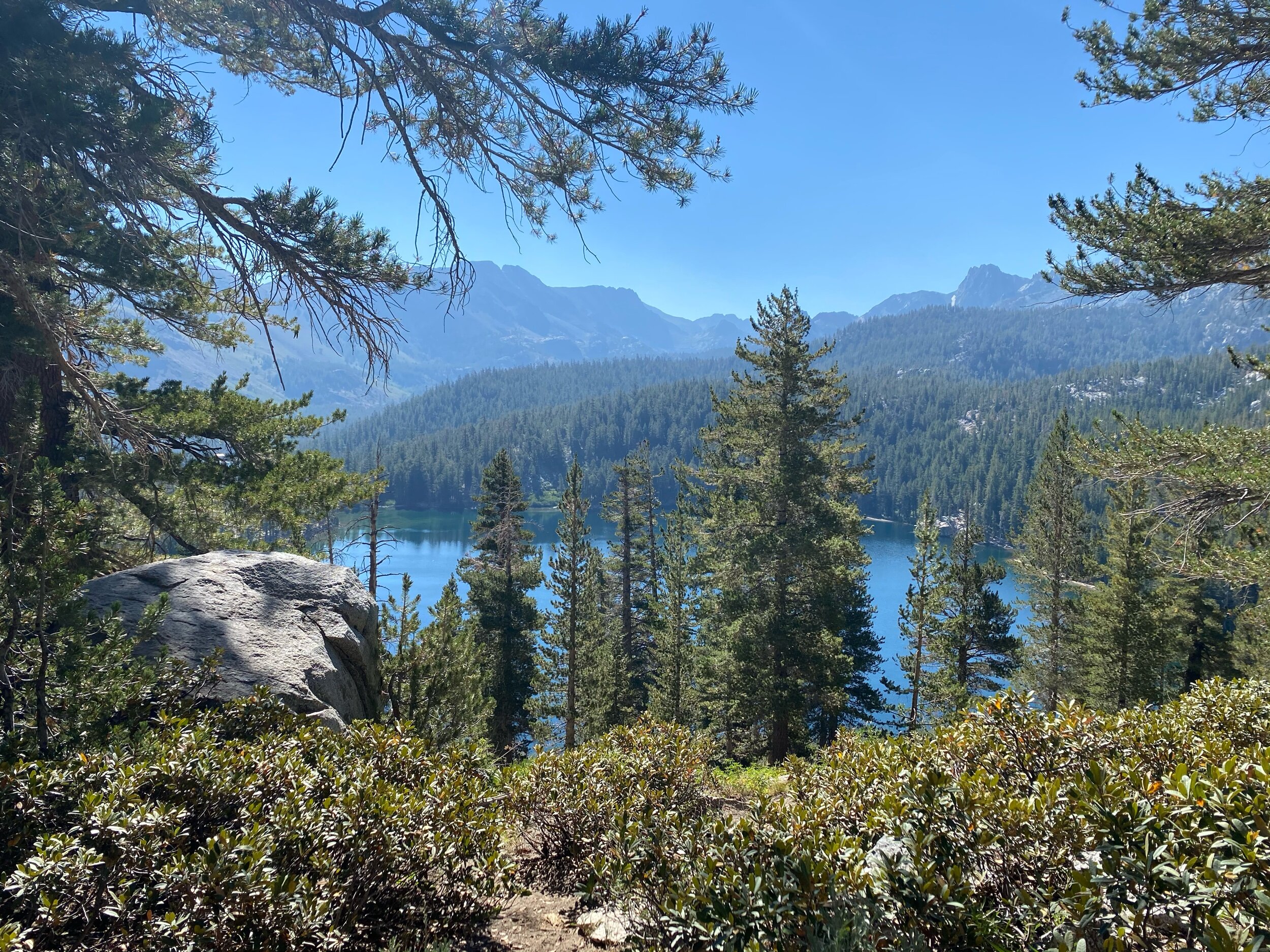
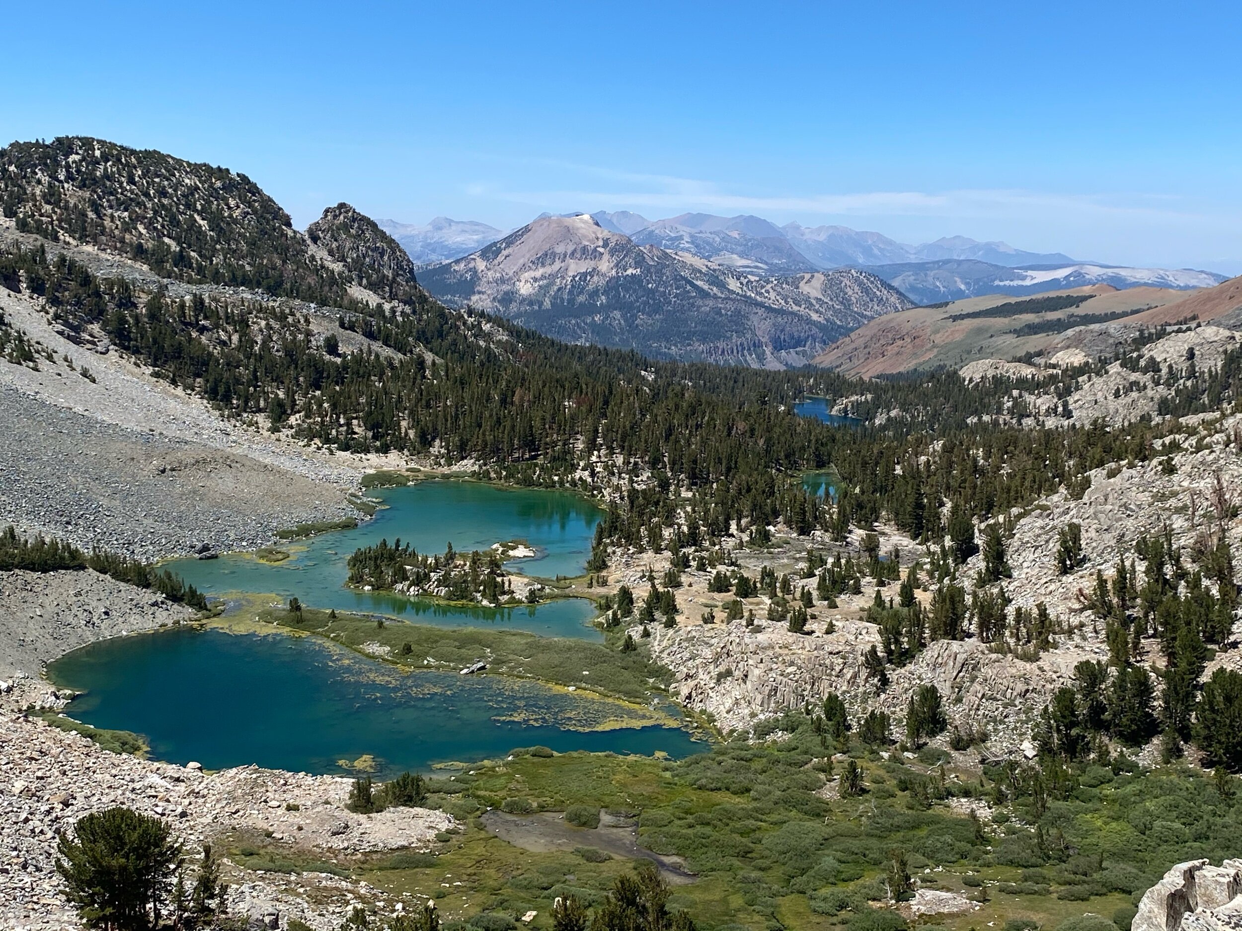
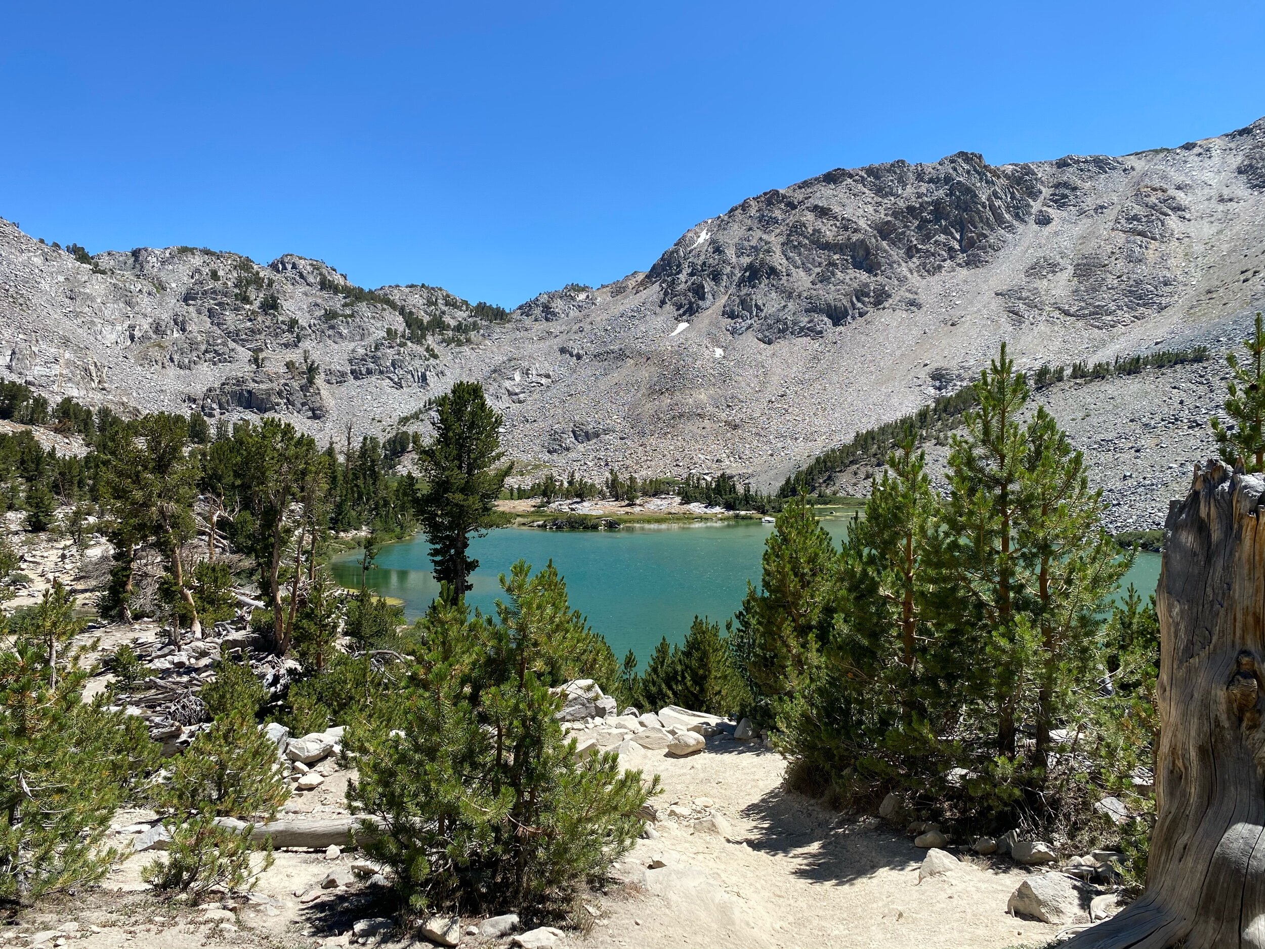
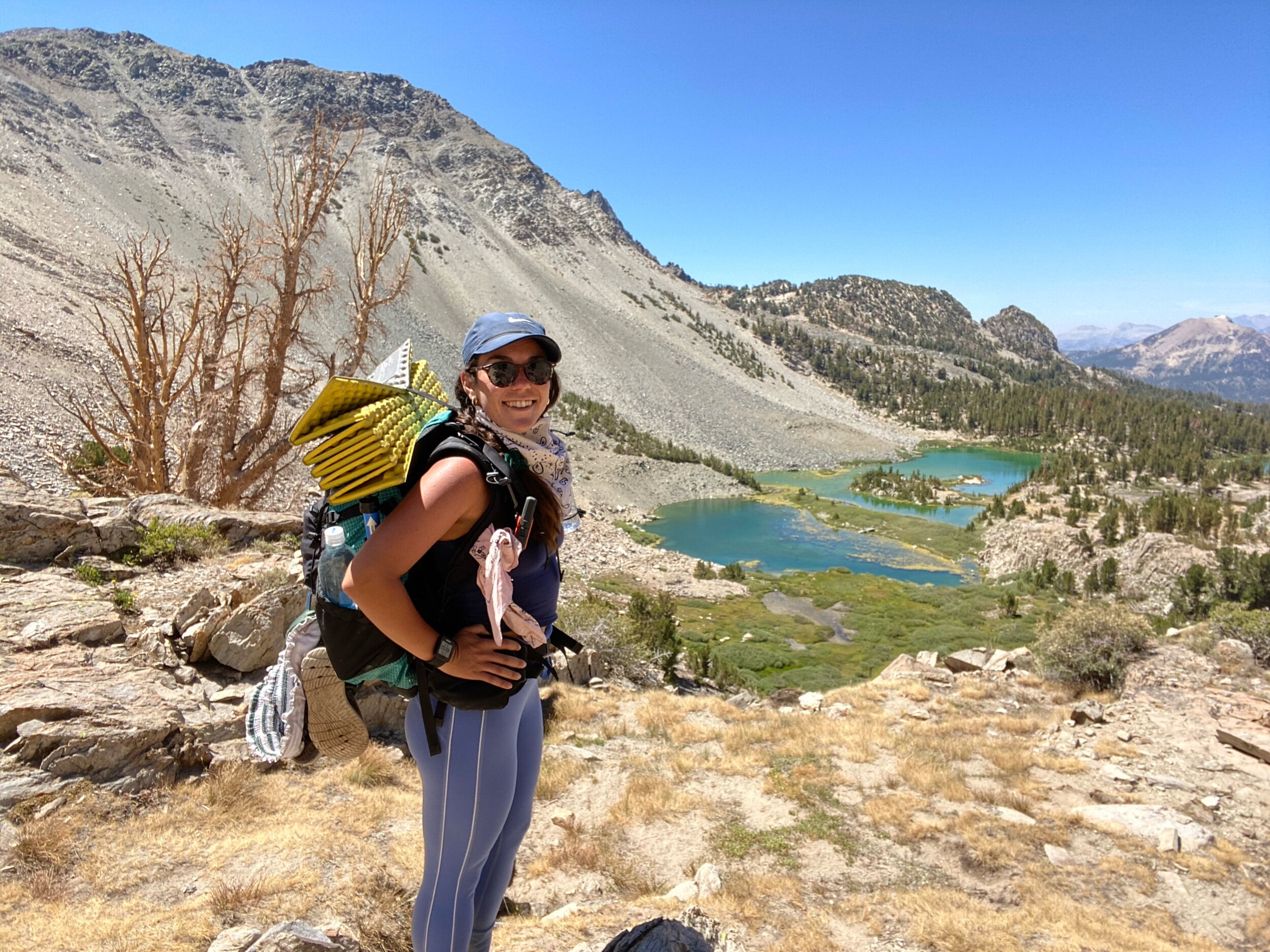
After about 5 miles and 2,400 feet of elevation gain, you’ll get your first glimpse of the Deer Lakes basin.

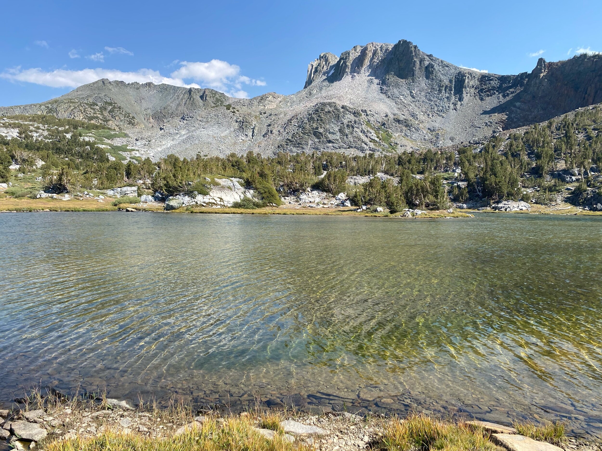
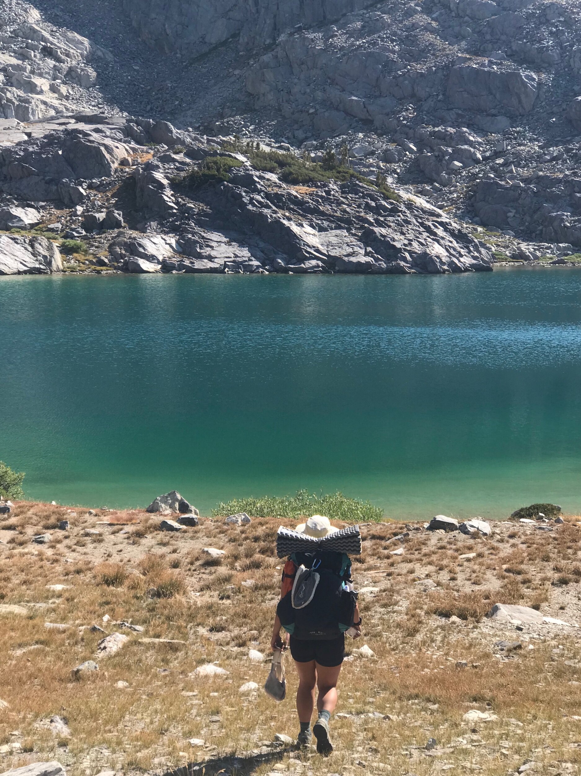
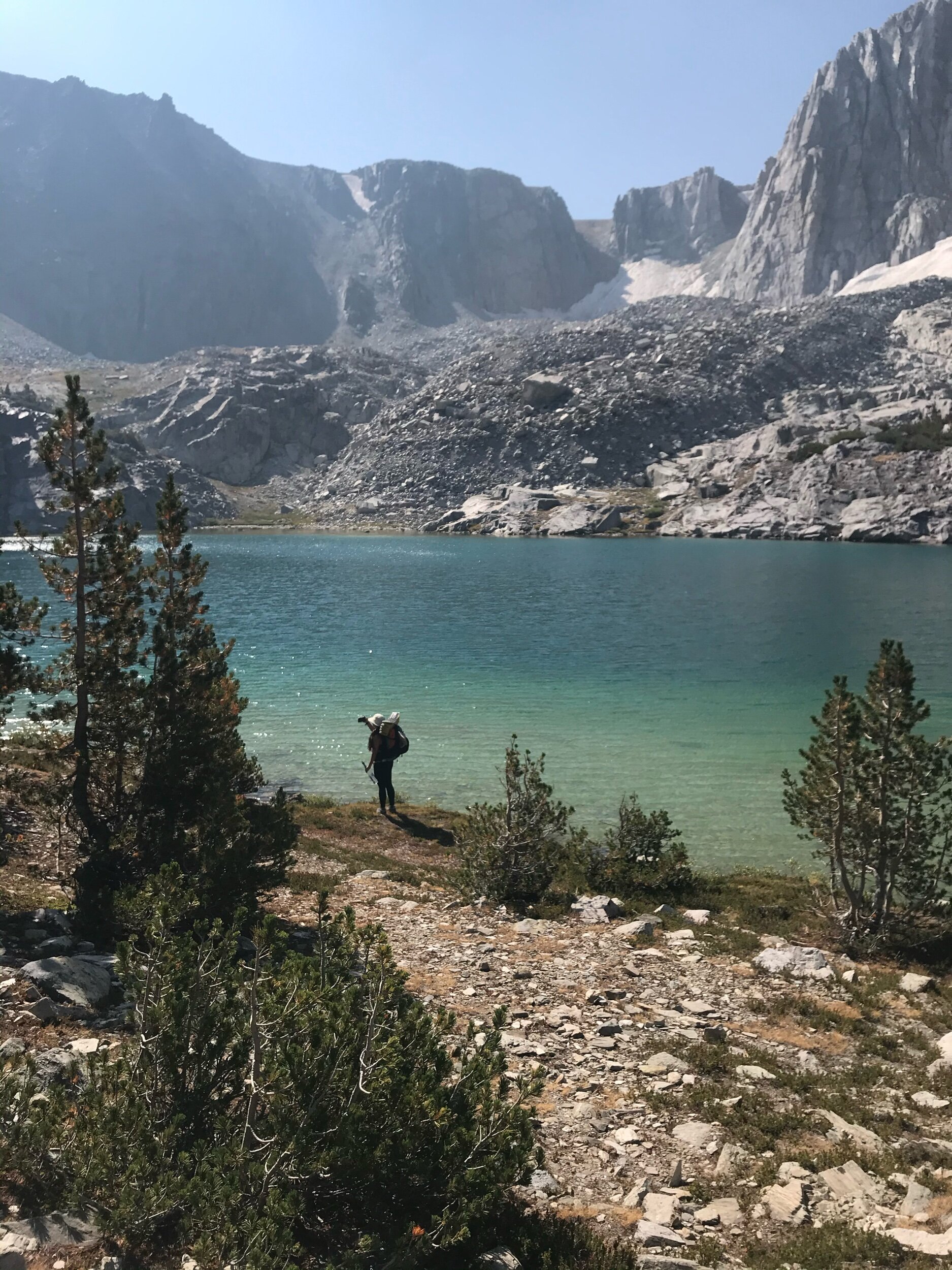
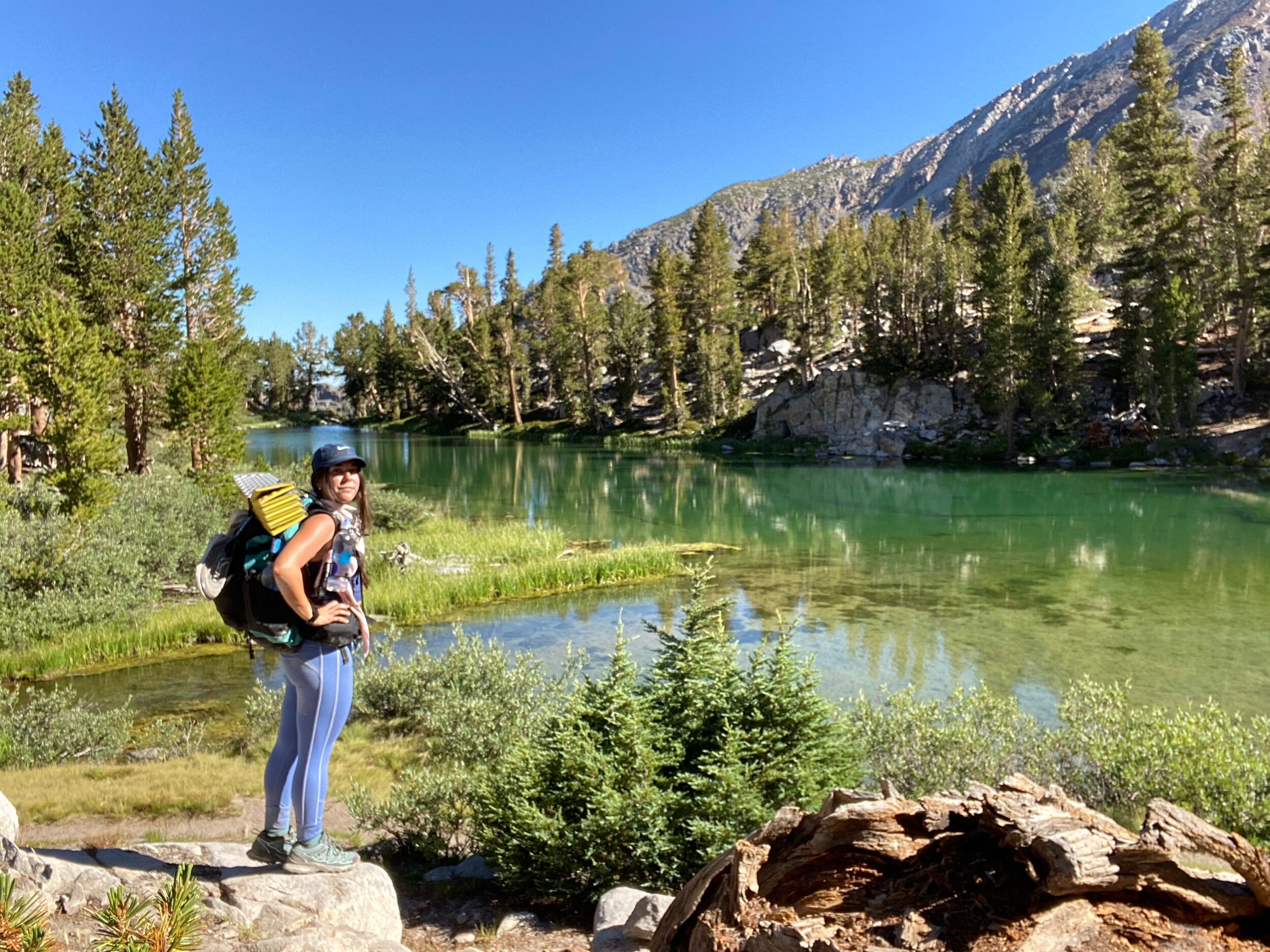
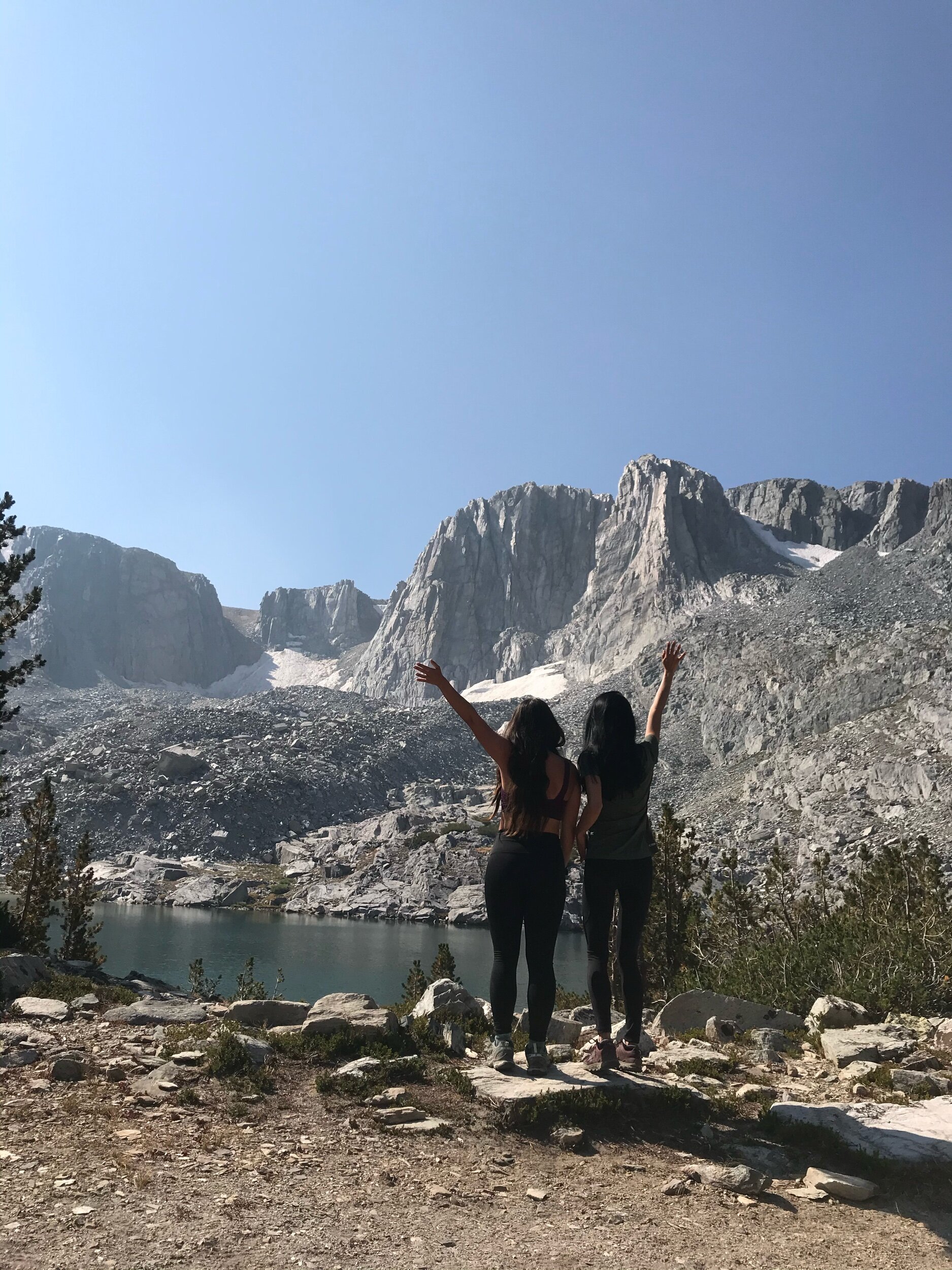
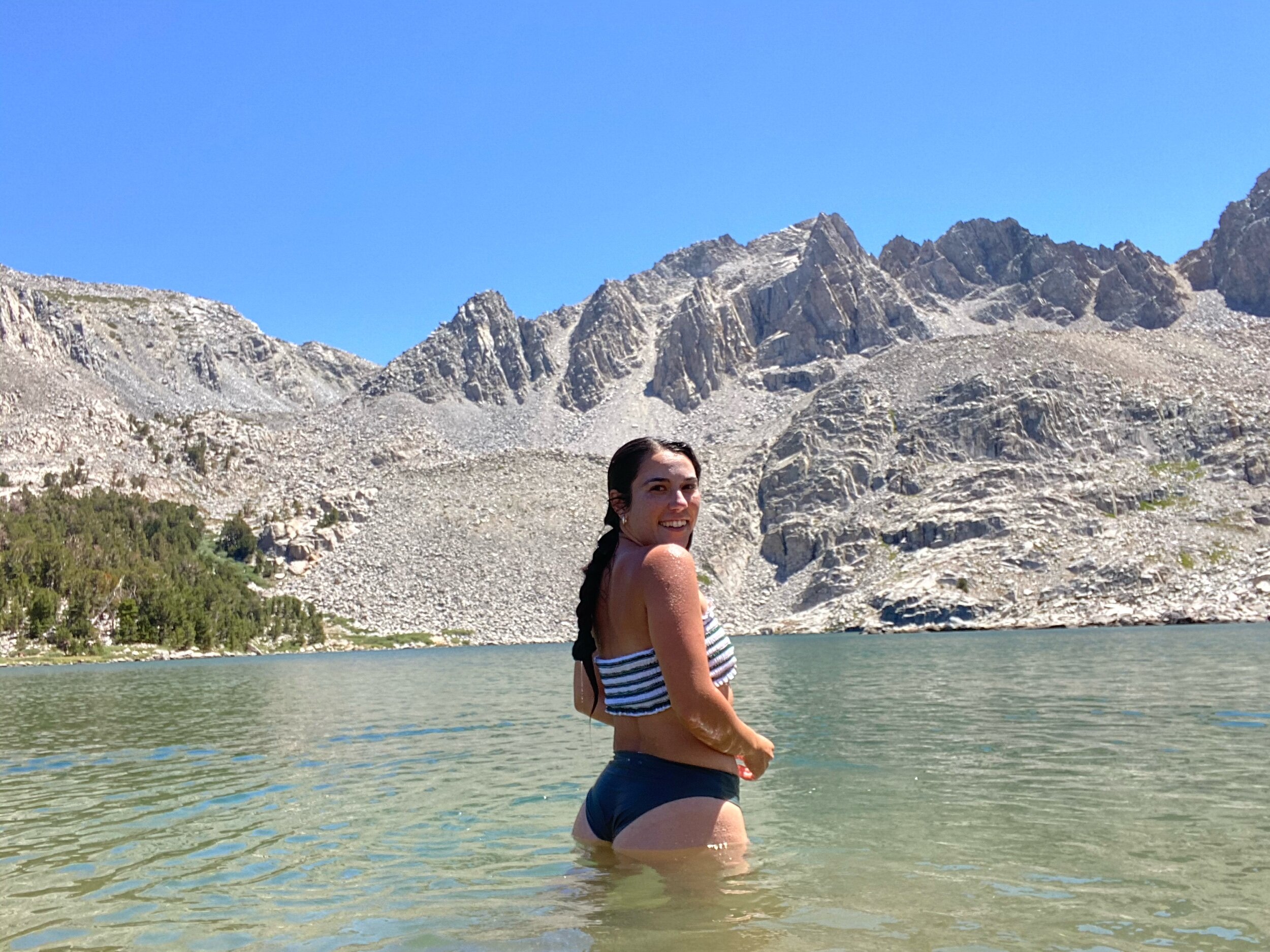
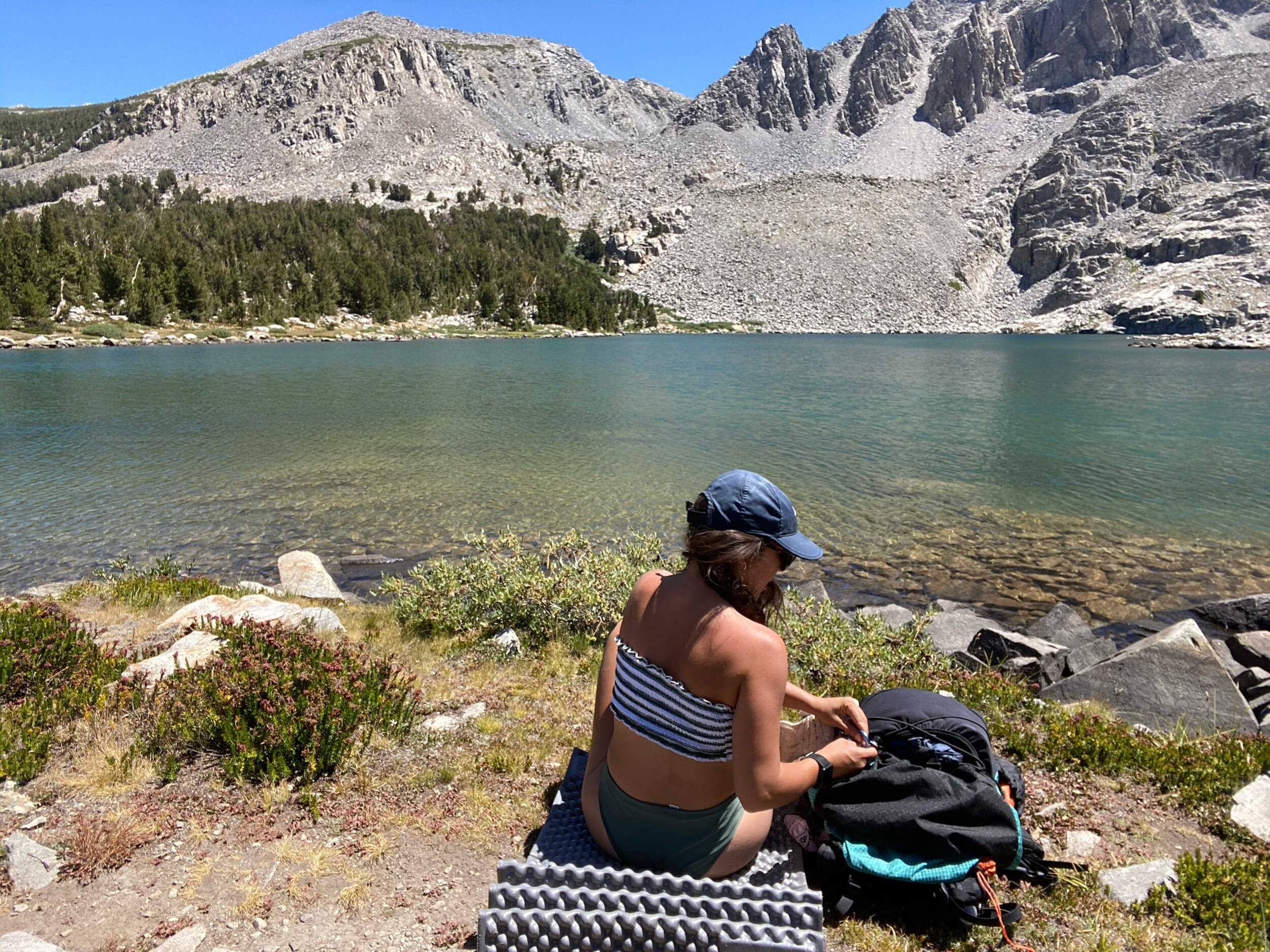
There are three lakes in the basin, and each of the lakes are pretty accessible from the trail.
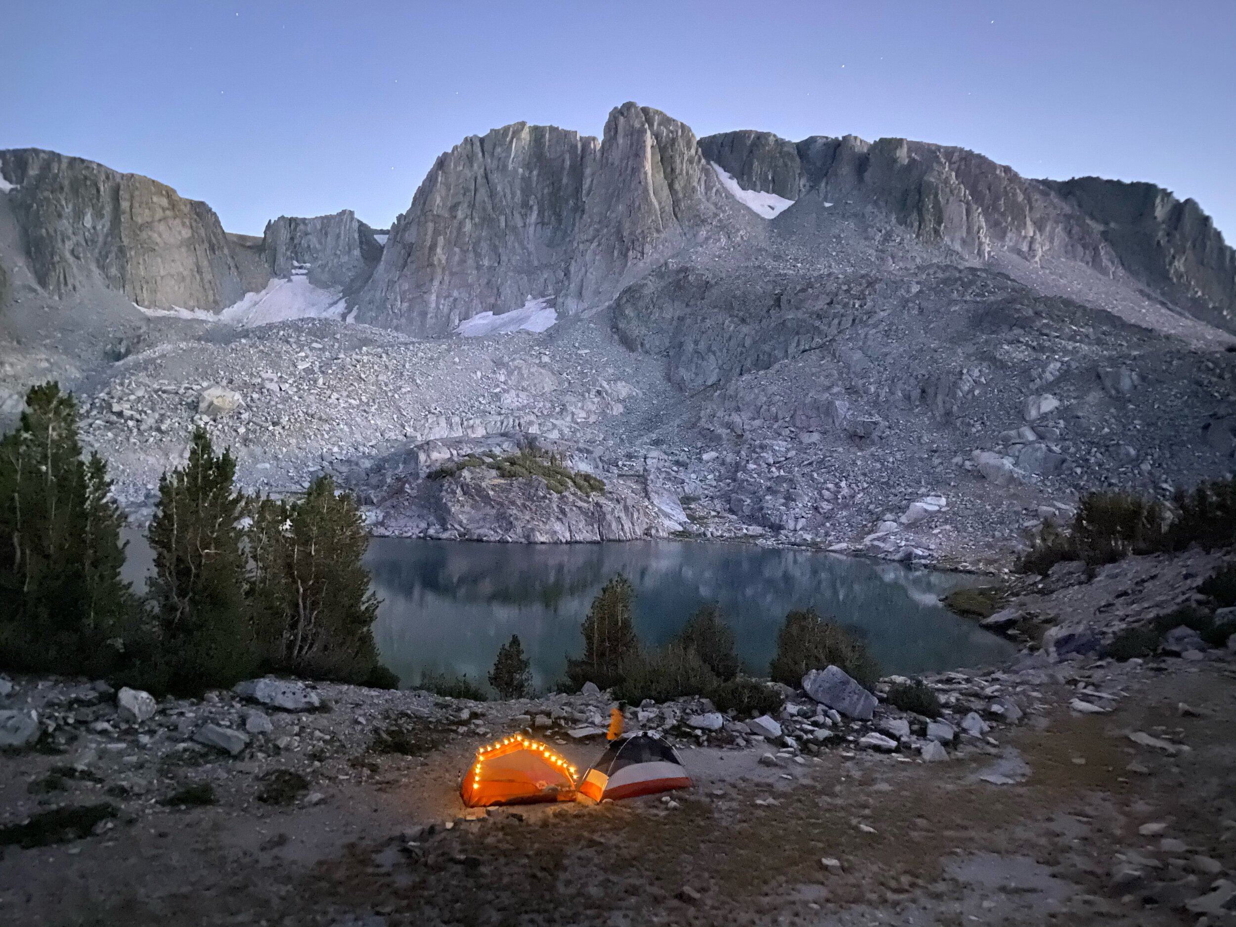
The first and second lakes are close together and the trail between them is relatively flat. After the second lake, the trail climbs to the third lake, which was the prettiest of the three lakes, in my opinion. Each lake offers opportunity for camping, but the second lake seemed to have the least amount of flat campsites as most of the land around the lake is rocky. We opted to stay at the third lake, and found a beautiful campsite by walking the use-trail around the lake and then walking up to the right.
Day 2: Deer Lakes to Car at Lake George
via semi-use trail, Duck Pass trail, Barrett Lakes trail

Miles: 8 miles
Elevation gain: 300 ft.
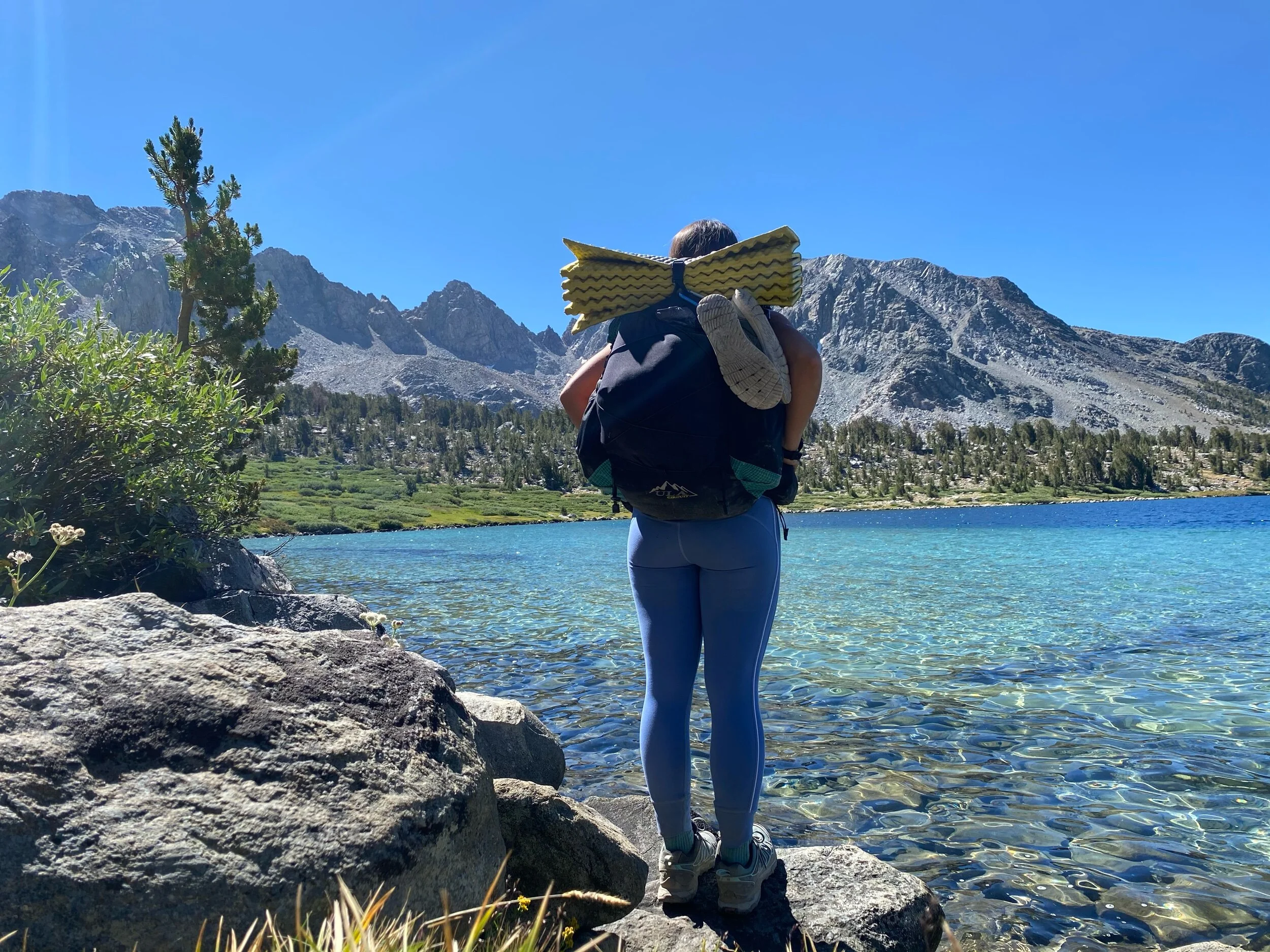
Water sources: Deer Lakes, Duck Lake, Barney Lake, Skelton Lake, Emerald Lake
After the Deer Lakes basin, the trail goes east via a use trail over the saddle between the Deer Lakes basin and Duck Lake. This means that the route wont show up on a paper map, or may appear as a dotted line, but there is a significant foottrack for you to follow.
The route looked intimidating and like a significant scramble from a distance. However, the use trail is well-defined and has enough switchbacks to ensure a relatively moderate climb over the saddle. The distance between the third lake and the top of the saddle is also relatively short.
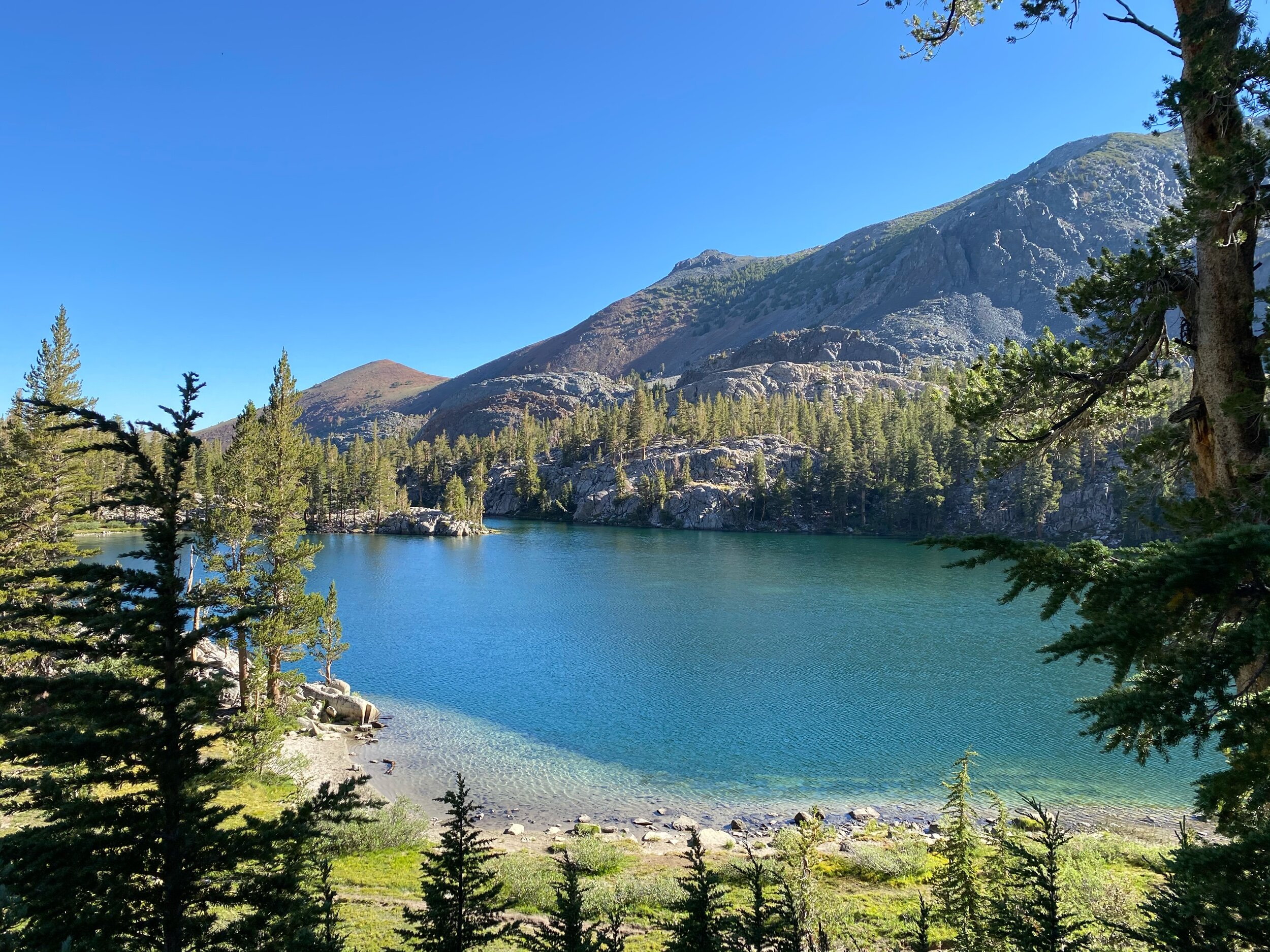
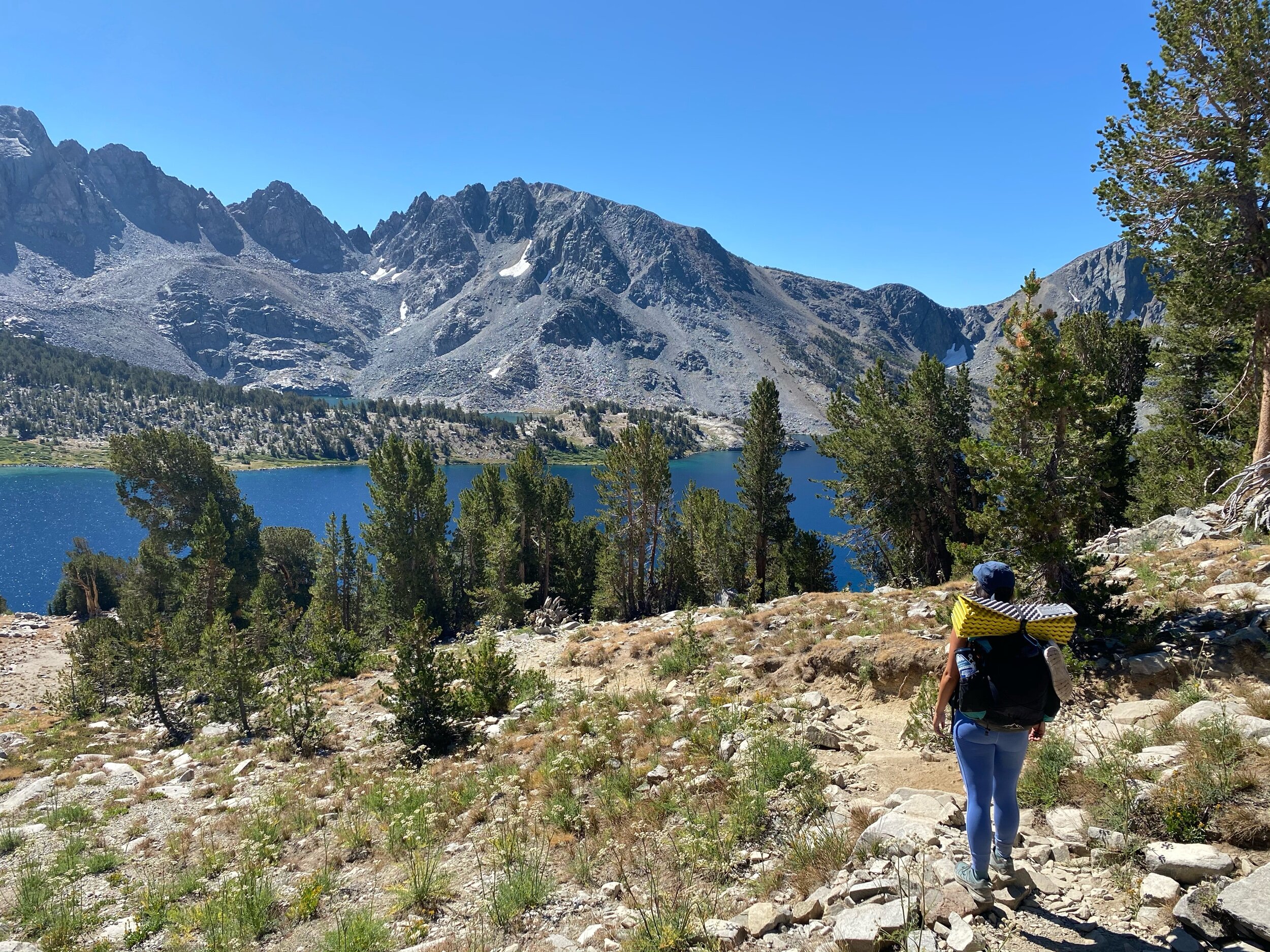
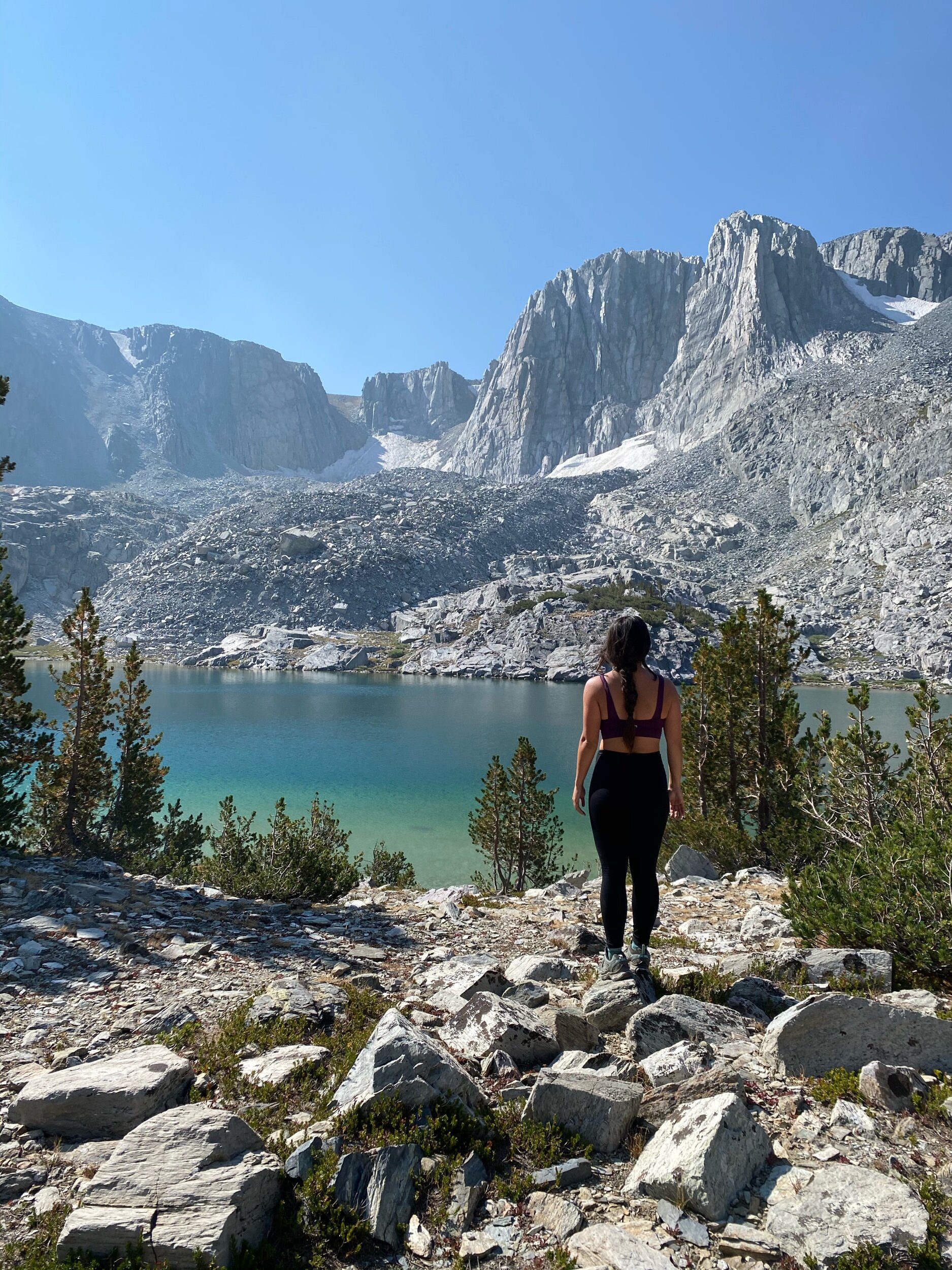
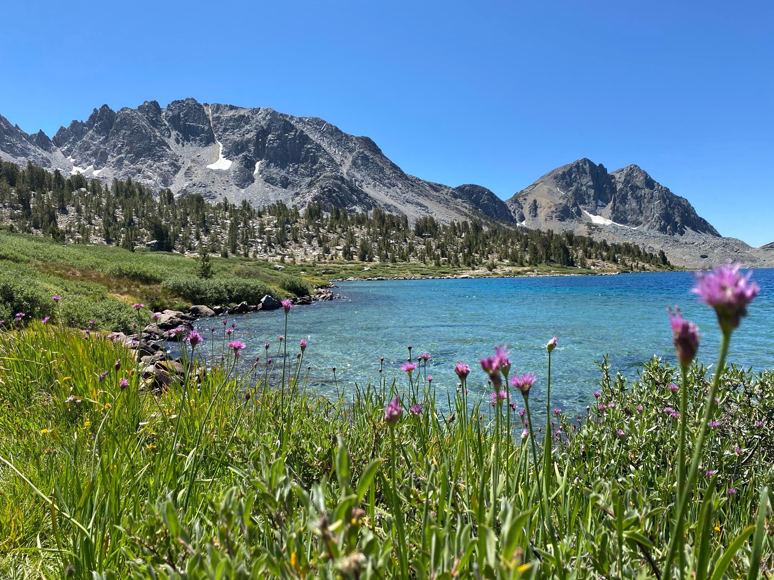
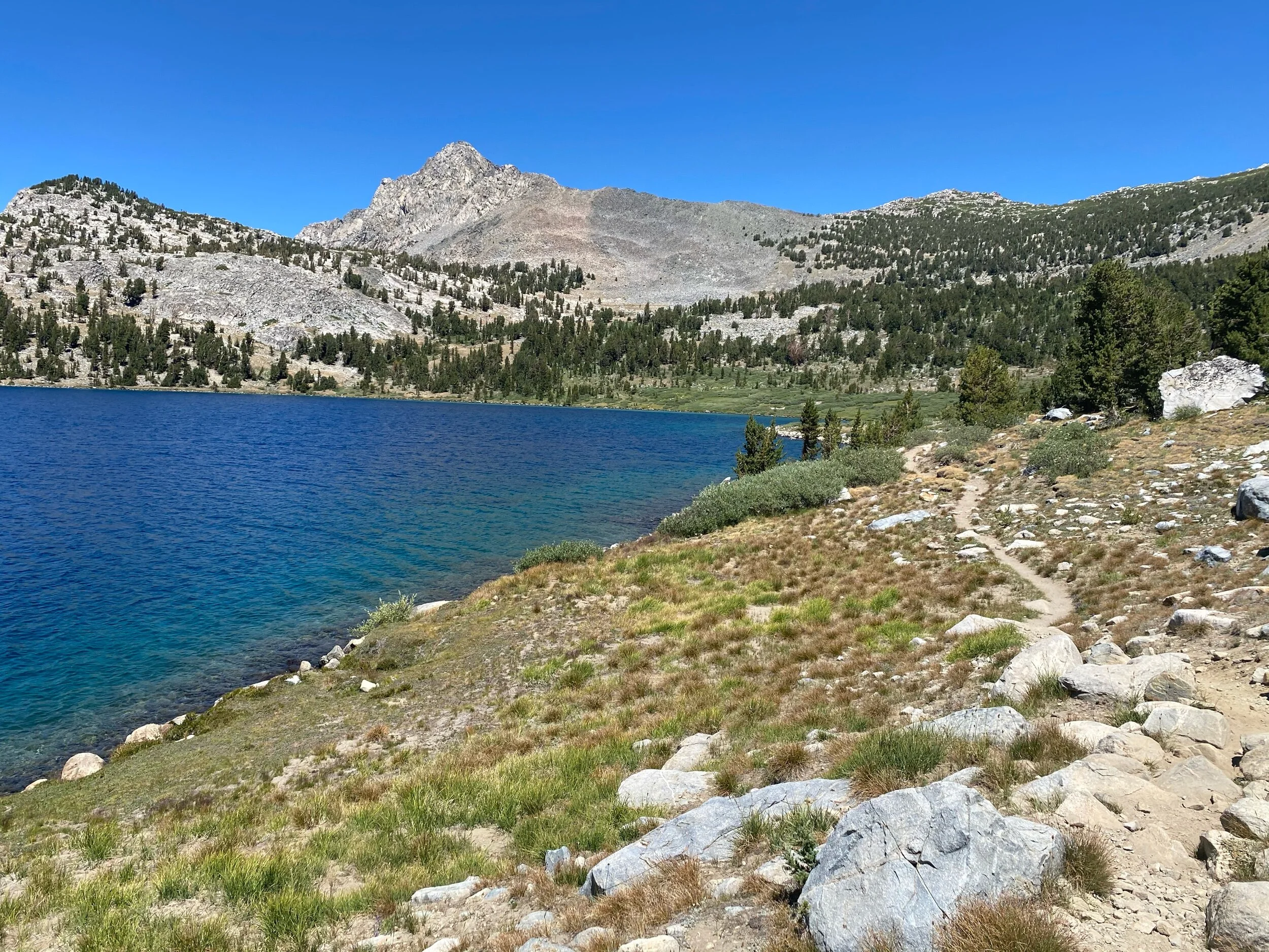
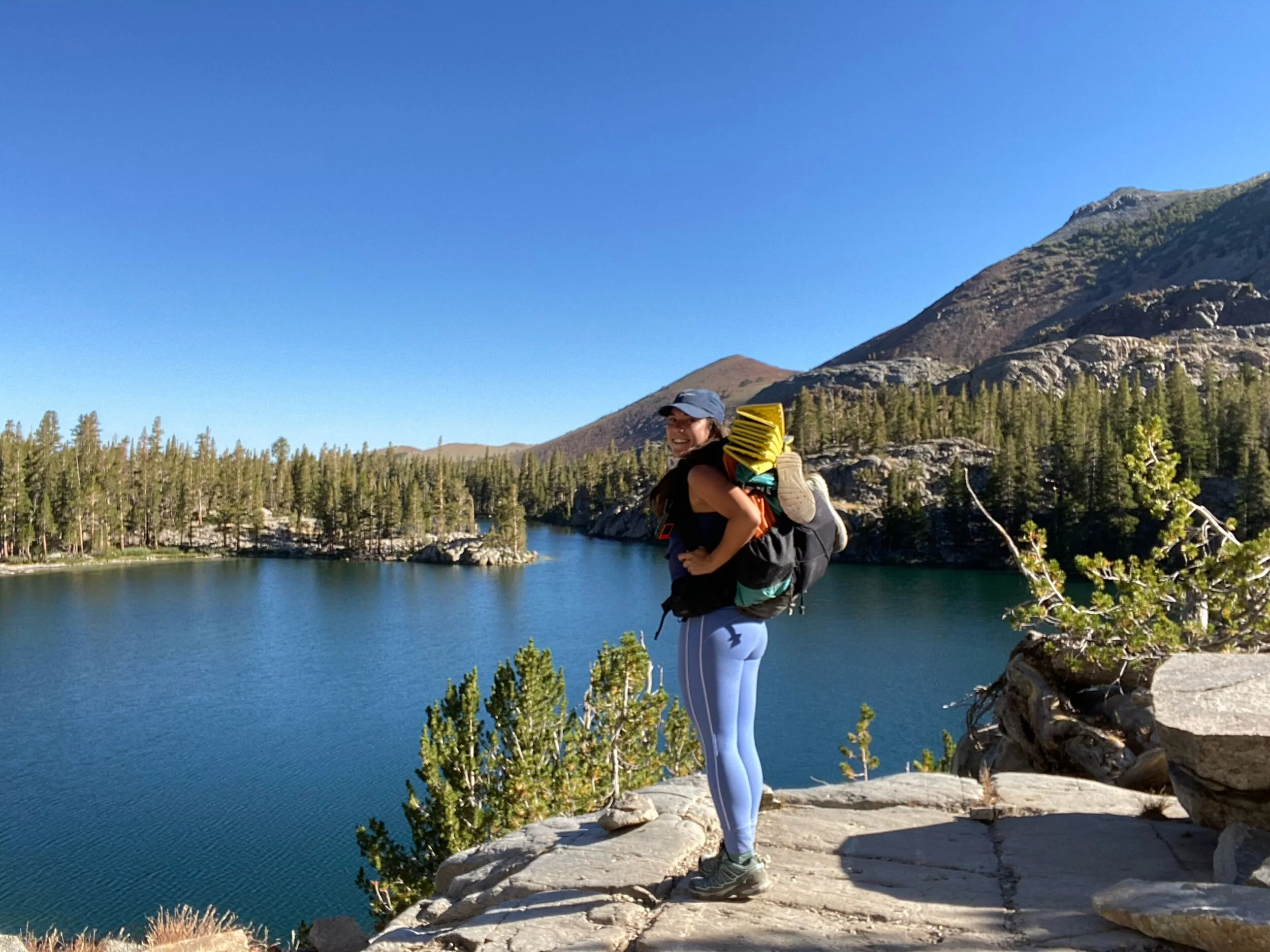
The climb over the saddle offers stunning views looking back on the Deer Lake basin. Once you’ve reached the saddle, you’ll follow the use-trail back to the Duck Pass trail. As you walk, you’ll get fabulous views of Duck Lake, and the smaller Pika Lake tucked behind it. We lost the trail once or twice en route to the Duck Pass trail, but we simply stayed to the left (east) and eventually met back up with the trail.
Once you’ve connected to the Duck Pass trail, you can either walk down to explore Duck Lake and Pika Lake, or continue down the other side of Duck Pass. There are also beautiful campsites at both lakes if you’d like to extend this to a 3 day trip.
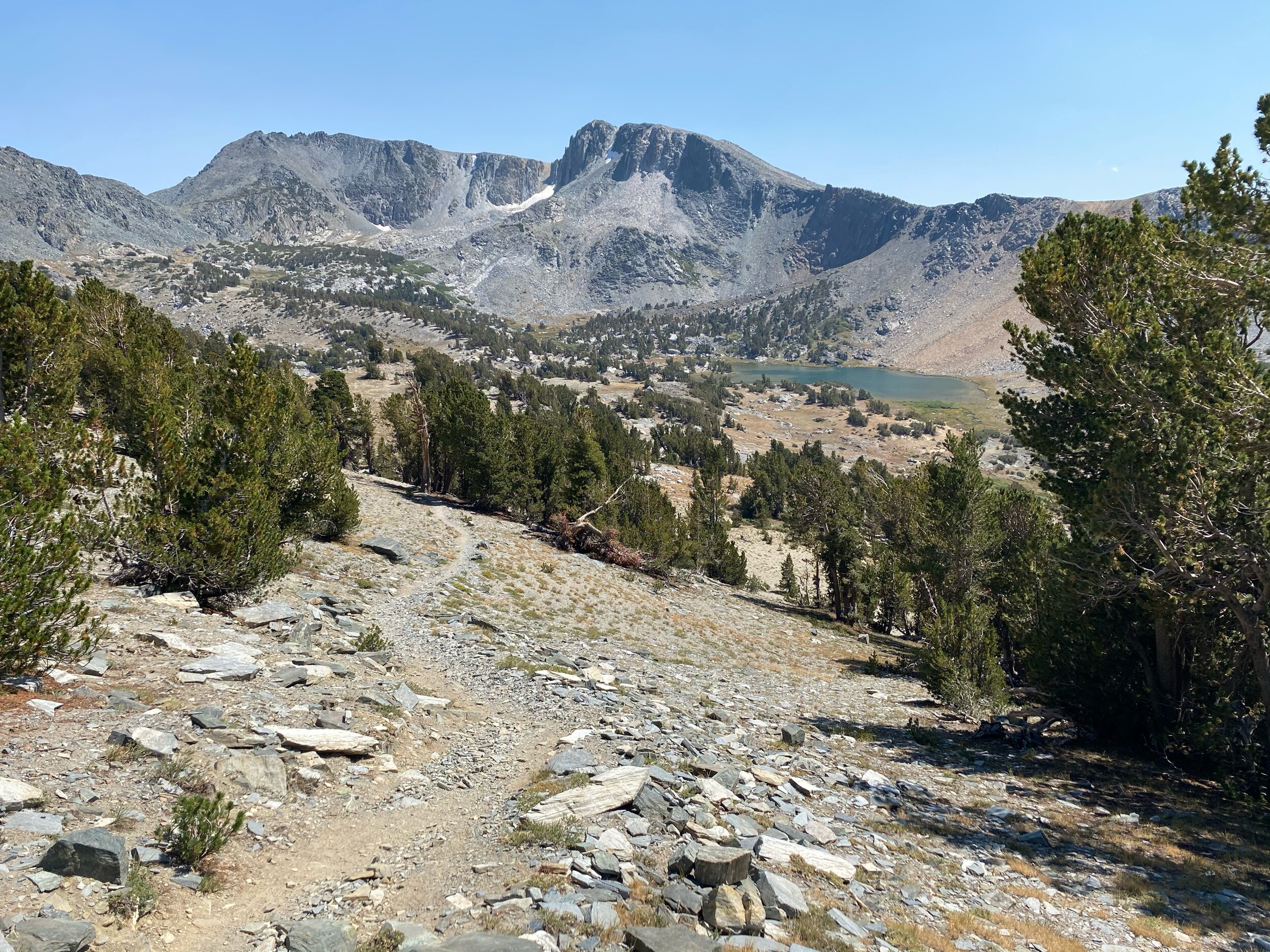
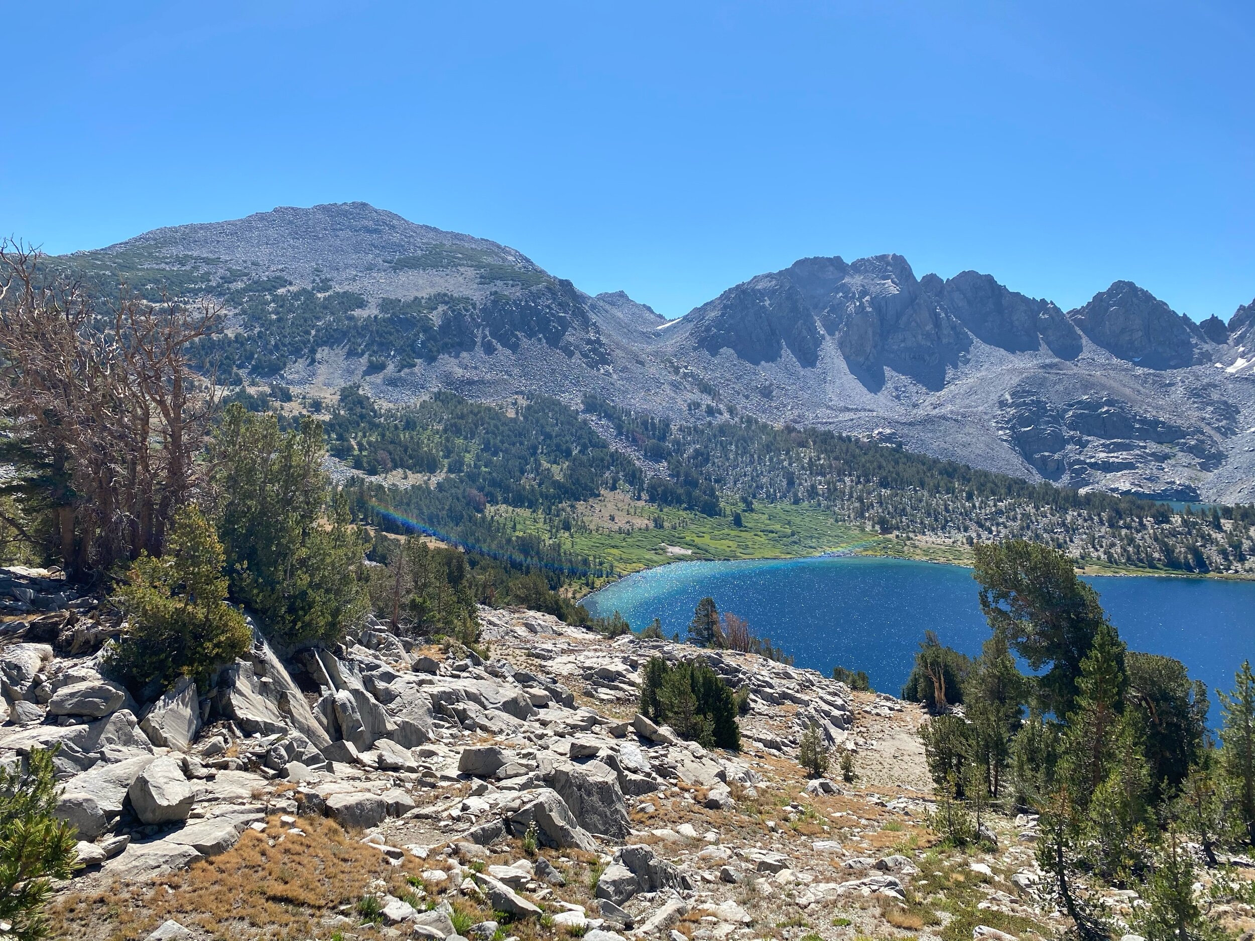
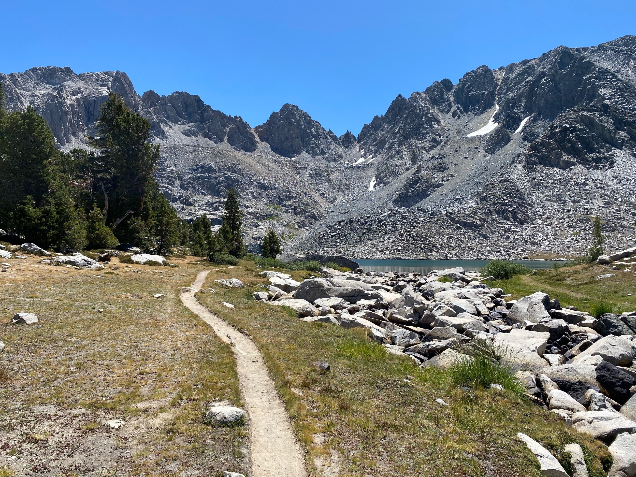
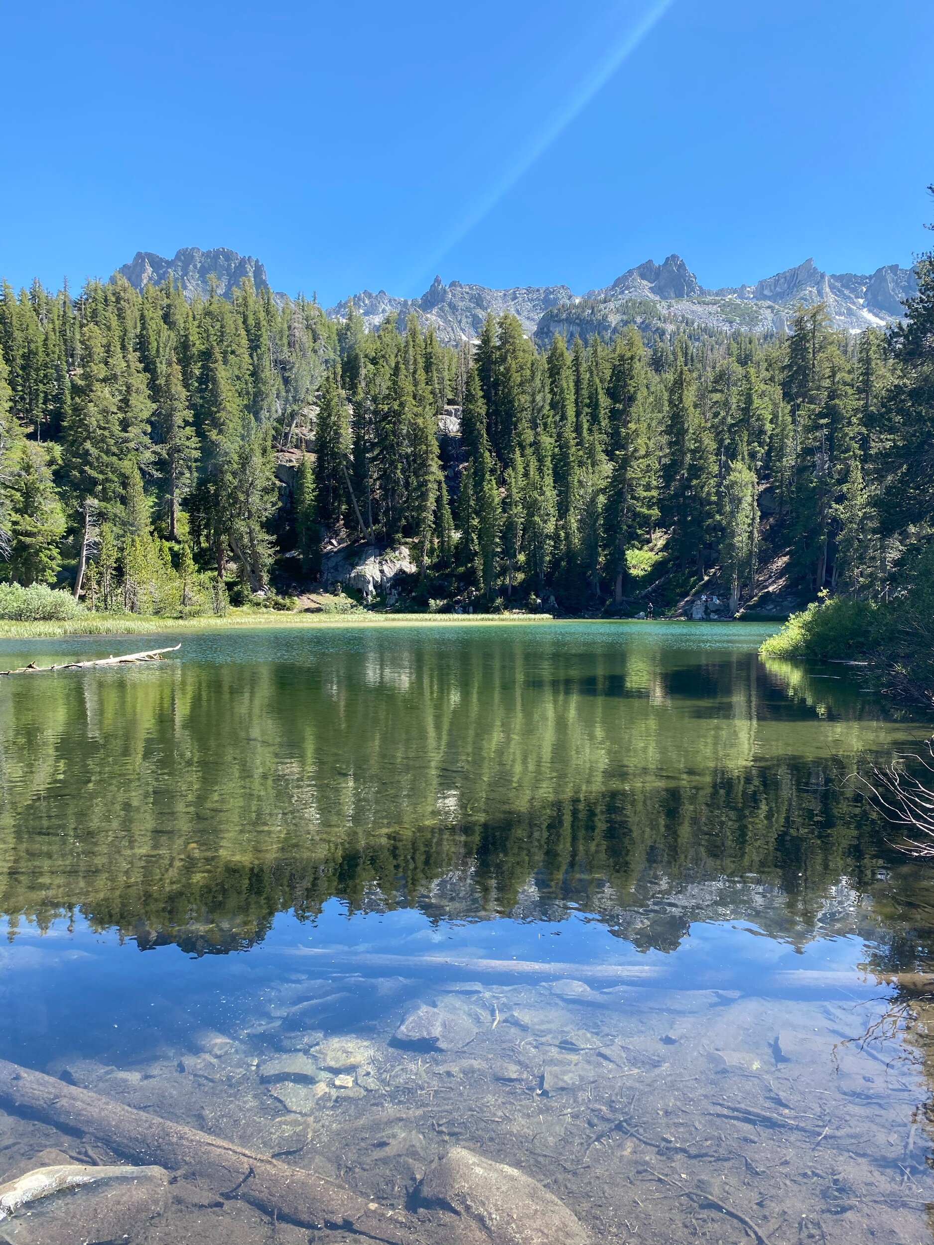
As you come over the top of Duck Pass, you’ll get stunning views of the lakes along the Duck Pass trail. Once you’ve come down the rocky switchbacks, you’ll arrive at Barney Lake.
After Barney Lake, you’ll walk a moderate uphill before dropping back down to Skelton Lake. After Skelton Lake, you’ll have a moderate uphill climb again before reaching the junction for Emerald Lake trail.
If you staged a car at the Duck Pass trailhead (also known as Coldwater Campground), you can continue down the Duck Pass trail.
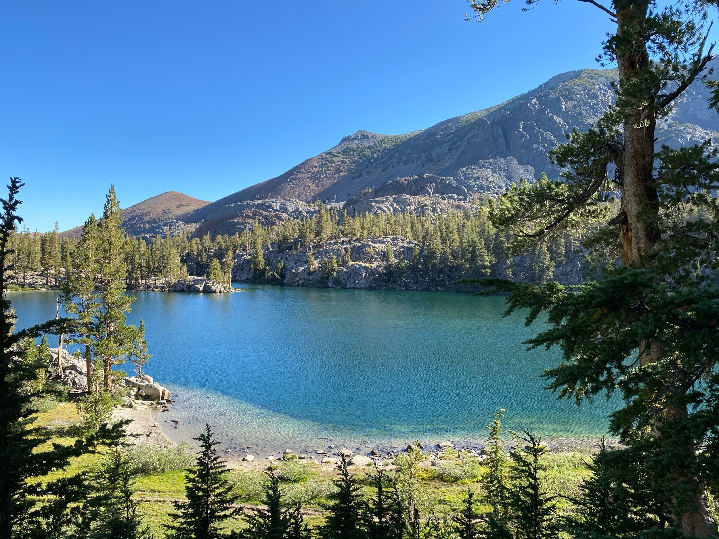
If you left your car at the Lake George trailhead, you’ll want to take the trail to Emerald Lake. The trail to Emerald Lake goes straight up for about 15 steps before a fairly steep downhill descent to Emerald Lake.
After Emerald Lake, you have a few options. You can take the Mammoth trails system past Lake Barrett to the Lake George campground. Or you can exit the Mammoth trails system, and road walk along Lake Mary road.
To take the Mammoth Trails system, you’ll continue past Emerald Lake. About a third of a mile past Emerald Lake is a trail junction with the Barrett Lake Trail. Take the Barrett Lake Trail.
The Barrett Lake Trail is the trail route between the Coldwater Campground parking lot and Lake George. After 1.7 miles you’ll reach Barrett Lake. Barrett Lake is filled by seasonal streams. In drought years, the water level of Barrett Lake will be low. Shortly past Barrett Lake, the trail reaches the junction with the TJ Lake Trail. Take the TJ Lake Trail back to Lake George.
Three Day Itinerary
Day 1: Lake George to Deer Lake
Miles: 6.2 miles
Water sources: Lake George, Deer Lake
Notes: trail is exposed/no water source for majority of day


Day 2: Deer Lakes to Pika Lake
Miles: 2.5 miles
Water sources: Deer Lake, Duck Lake, Pika Lake
Notes: semi-use trail required, trail does not always show up on maps

Day 3: Pika Lake to Lake George
Miles: 12 miles
Water sources: Pika Lake, Duck Lake, Barney Lake, Emerald Lake
Notes: multiple routes can be taken, see detailed report above

This rewarding backpacking loop is one of the best in the Mammoth area. As always, if you have any questions about this trip, feel free to leave me a comment below!